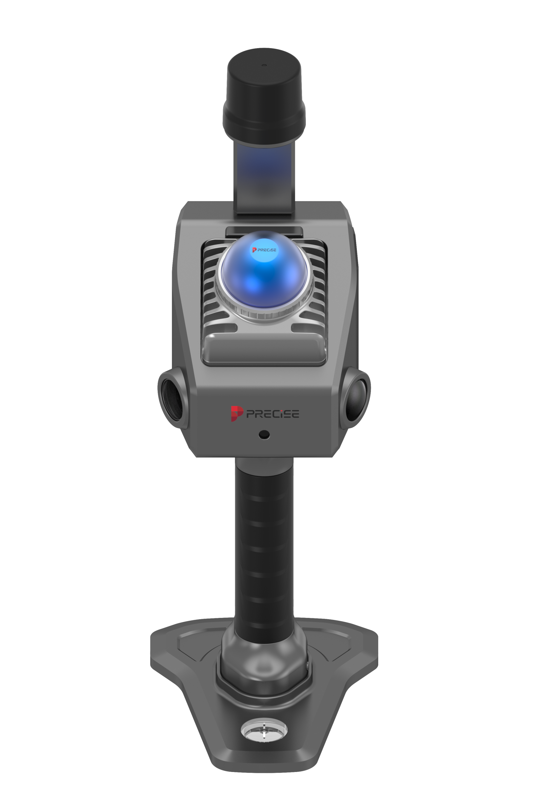

Algorithmic Magic to Enhance ‘Precision, Reliability, and Ease’, for an Exceptional User Experience.
Super-high Fix Rate
99.9%
Our product achieves exceptional positioning accuracy.
On average, only 1 out of every 1,000 positioning attempts,
This precision ensures unparalleled reliability for critical applications.
*Fix rate and accuracy can be affected by external conditions such as multipath, obstacles, satellite geometry, and atmospheric conditions.
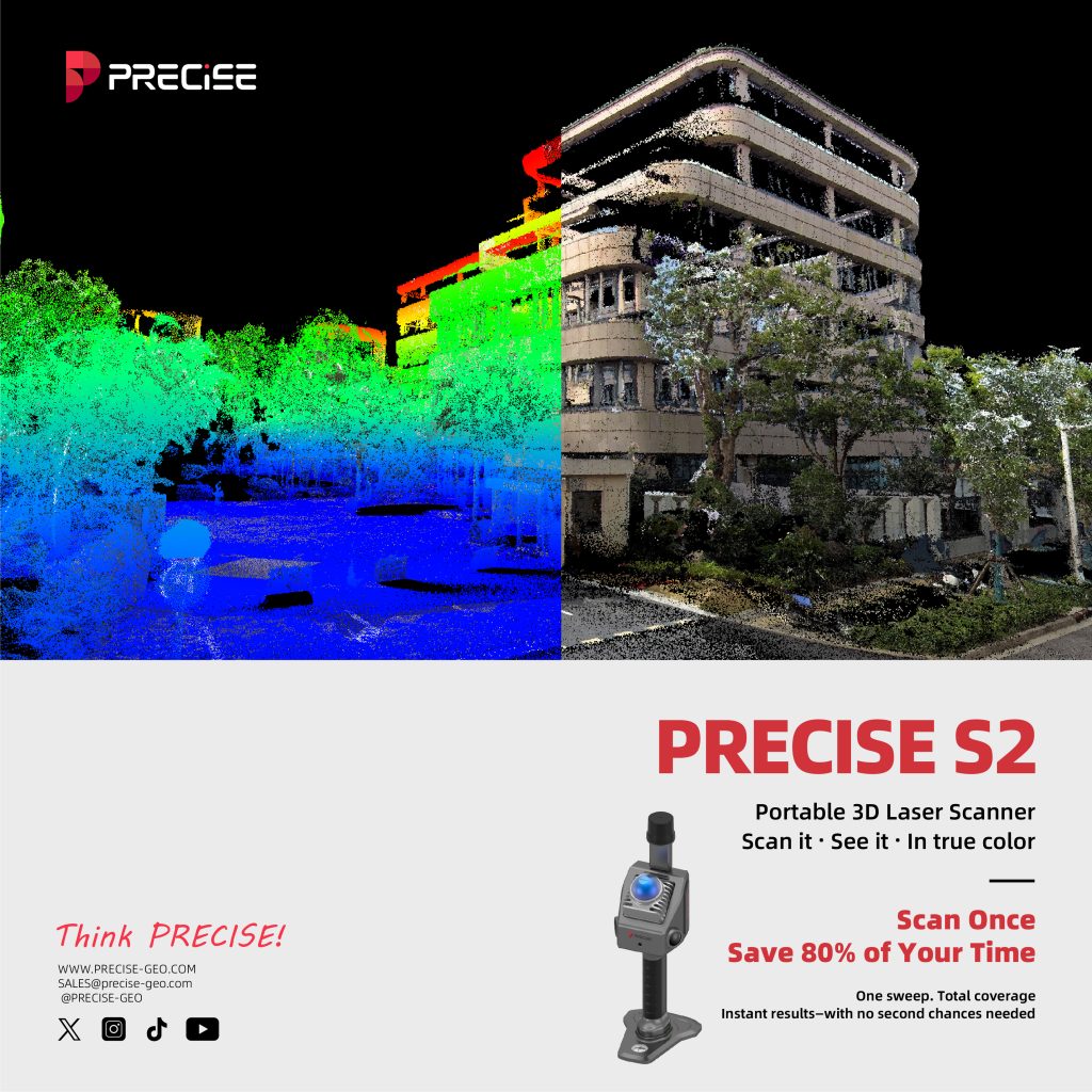
Scan Once. Save 80% of Your Time.
One sweep. Total coverage. Instant results—with no second chances needed.
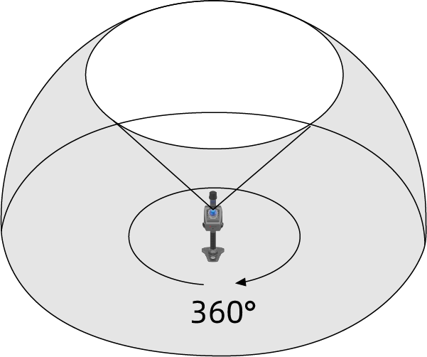
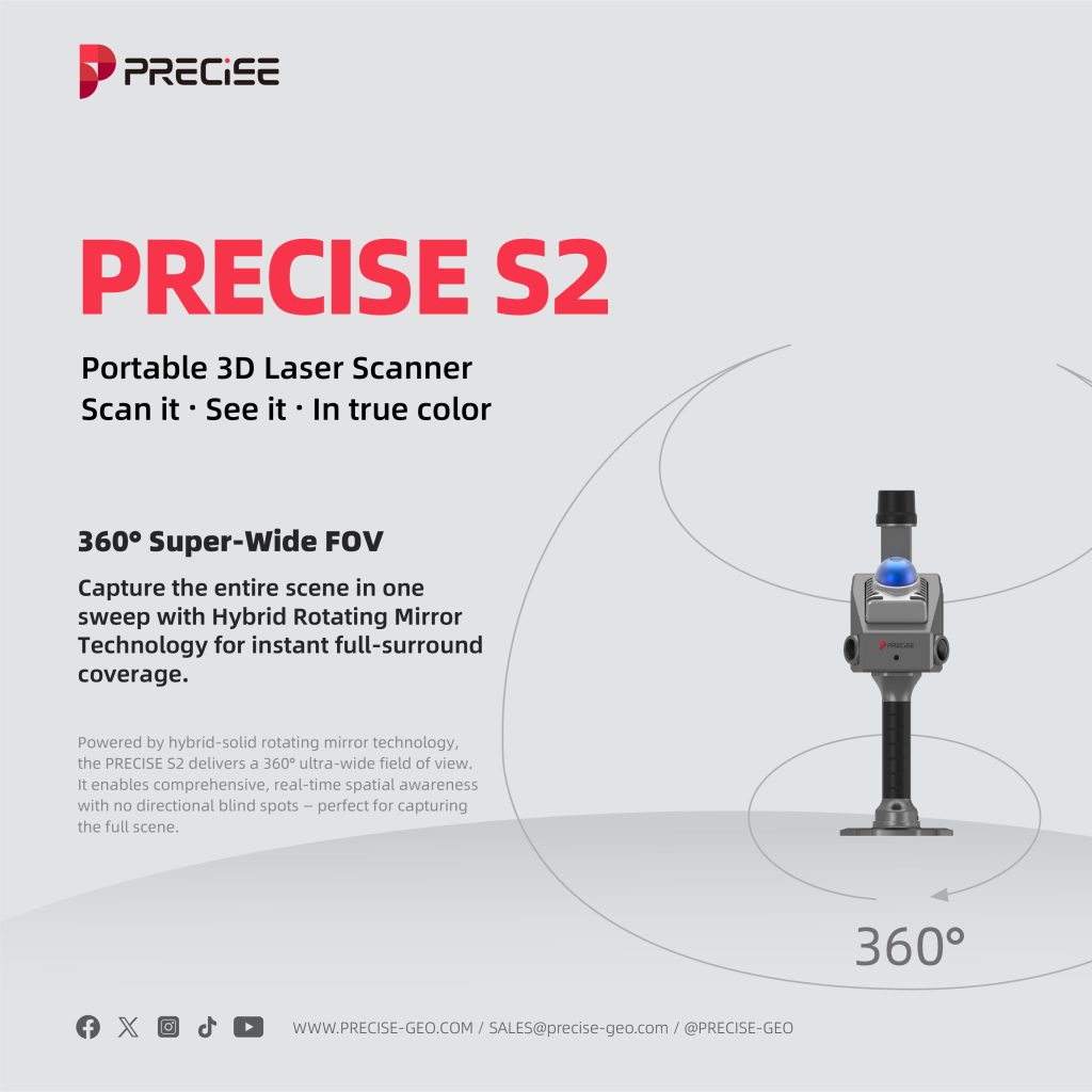
360° Super-Wide FOV
Capture the entire scene in one sweep with Hybrid Rotating Mirror Technology for instant full-surround coverage.
Powered by hybrid-solid rotating mirror technology, the PRECISE S2 delivers a 360° ultra-wide field of view. It enables comprehensive, real-time spatial awareness with no directional blind spots — perfect for capturing the full scene.
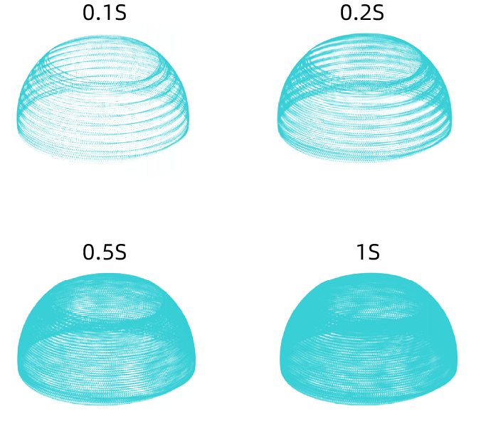
Progressive FOV Expansion
Full coverage in 1 second, outperforms standard multi-line LiDARs with fewer moves.
The PRECISE S2 continuously expands its field of view with each passing second. In just 1 second, it reaches near-total spatial coverage — outperforming typical multi-line mechanical LiDARs limited to fixed vertical FOVs of 27°–41°.
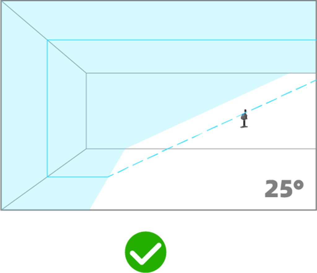
25° Tilted Mounting Angle
Wider coverage. Fewer passes.
The PRECISE S2 is mounted with a 25° downward tilt, enabling it to capture the floor, forward objects, and ceiling in a single scan. This eliminates the need for repeated angle adjustments during operation — greatly improving efficiency in handheld workflows.
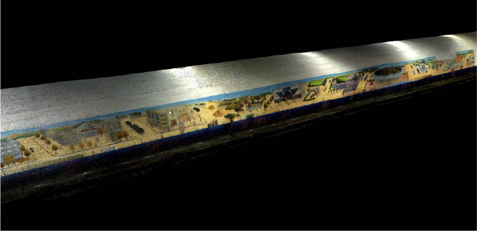
Cloud Point Travel · The Bund, Shanghai
By the Huangpu River stands the Peace Hotel — nearly a century old.
It has witnessed the city’s modern rise and nostalgic charm;
its jazz echoes, copper dome, and green spire now rendered in light.
With millimeter precision, PRECISE S2 captures the legend carved in its façade.
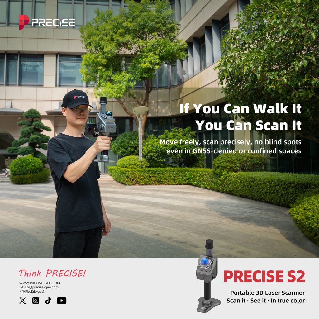
If You Can Walk It, You Can Scan It.
Move freely, scan precisely, no blind spots, even in GNSS-denied or confined spaces.

10cm
Minimum Detection Range
Ultra-Close Detection ensures zero blind spots, even along walls and in corners.
With a minimum detection range of just 10 cm, the PRECISE S2 excels at identifying nearby objects. Its compact form factor allows flexible mounting and ensures no area goes unseen — even in tight spaces.
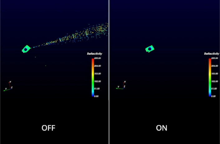
Active Anti-Interference
Always on track with no signal interference, even in multi-LiDAR or high-reflection environments.
Engineered with advanced anti-interference capabilities, the PRECISE S2 delivers stable performance even in multi-lidar environments. Indoors or out, it stays focused — unaffected by overlapping signals.

Built-in High-Frequency IMU
More stable scans. More precise models.
Equipped with a 6-axis IMU (3-axis accelerometer + 3-axis gyroscope), the PRECISE S2 delivers high-frequency motion tracking at 200 Hz. This ensures enhanced accuracy in handheld 3D scanning, even during movement or complex scenes.
Cloud Point Travel · The Origin of the Bund
This is where Shanghai began.
A century and a half ago, Shikumen courtyards met Western façades, forming the city’s DNA.
What PRECISE S2 scans here is more than structure —
it’s the dialogue between East and West, past and present.
Each beam of light lets the old stones be seen again.
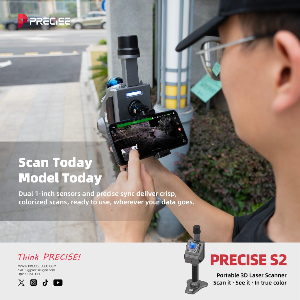
Scan Today. Model Today.
Dual 1-inch sensors and precise sync deliver crisp, colorized scans, ready to use, wherever your data goes.
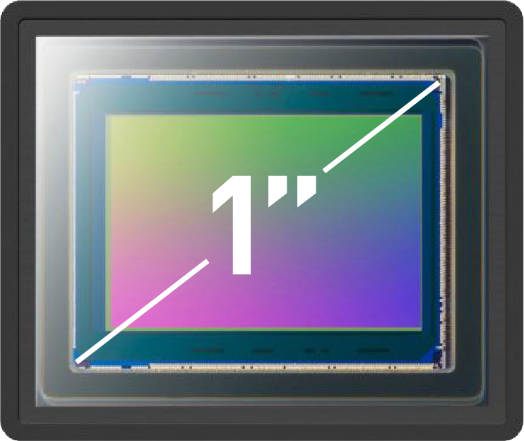
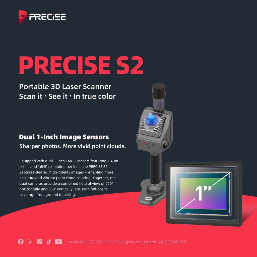
Dual 1-Inch
Image Sensors
Sharper photos. More vivid point clouds.
Equipped with dual 1-inch CMOS sensors featuring 2.4μm pixels and 16MP resolution per lens, the PRECISE S2 captures clearer, high-fidelity images — enabling more accurate and vibrant point cloud coloring. Together, the dual cameras provide a combined field of view of 270° horizontally and 360° vertically, ensuring full-scene coverage from ground to ceiling.
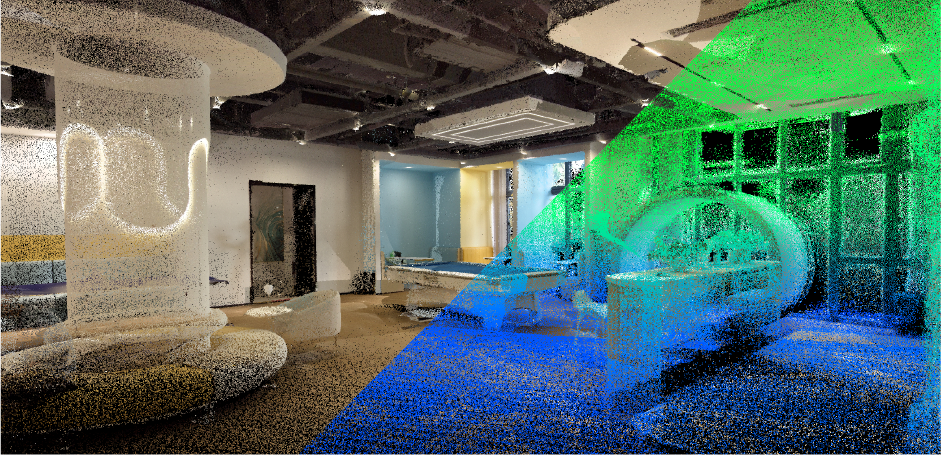
Sharper Point Clouds
Perfectly Fused
Cleaner visuals. Greater precision.
With microsecond-level time synchronization across all sensors, PRECISE S2 delivers highly accurate point clouds where color and intensity data align seamlessly — improving modeling precision and visual clarity.
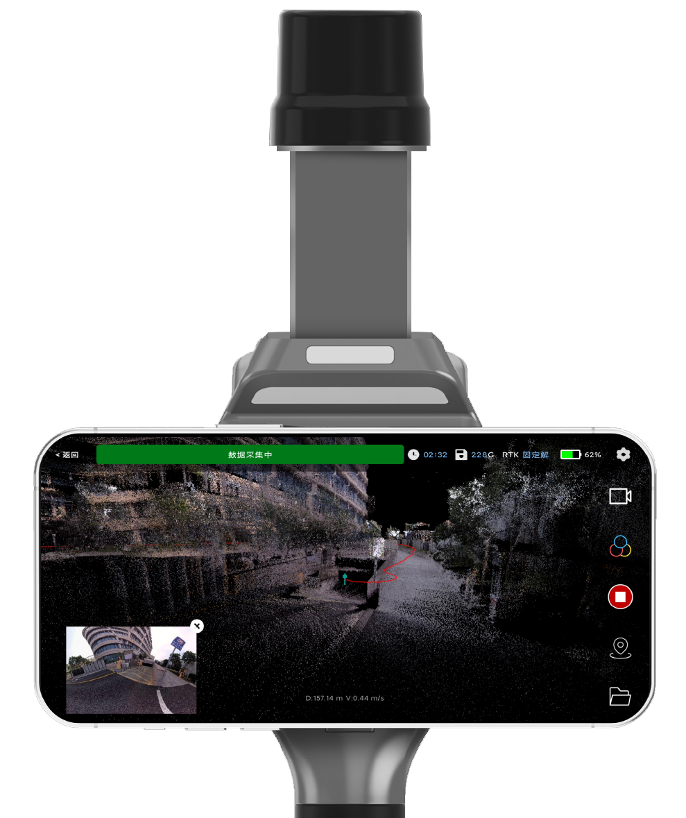
Real-Time Preview
Precision Results
What you see is what you get. Anywhere, anytime.
PRECISE S2 comes with a dedicated mobile app for Android and iOS, enabling real-time preview of true-color point clouds directly on your phone. During scanning, users can stream, download, and replay point cloud data — all in the palm of their hand.
High-Fidelity SLAM
by Design
Richer data. Smarter mapping.
PRECISE’s proprietary LiDAR + vision SLAM delivers ultra-dense, real-time point clouds with vibrant, consistent coloring. Robust to motion and scene variation, it’s ready for the toughest indoor and outdoor environments.
Cloud Point Travel · The Origin of the Bund
As the morning mist fades, sunlight brushes century-old eaves.
PRECISE S2 captures that fleeting warmth in millions of points.
Time doesn’t vanish here — it simply transforms, preserved in data.
Technology becomes a vessel for memory, extending the soul of the city.
Small, Simple, Powerful. All Day Long.
High-precision scanning in a compact form—just one device, one person, zero downtime.
Ultra-Light.
Ultra-Mobile.
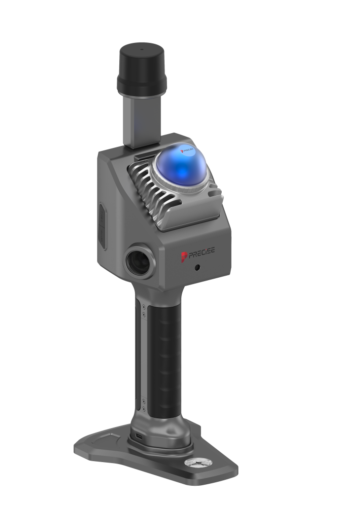
Just 1 kg—built for handheld scanning.
Designed for true mobility, PRECISE S2 weighs only around 1 kg—small enough to navigate narrow spaces, light enough for long shifts without fatigue. Whether handheld or carried on your shoulder, it’s ready for fast-paced, go-anywhere scanning.
As Easy as a Photo.
Smarter Than Ever.
Tap to scan. Always up to date.
No laptop. No cables. Just open the app on your phone or tablet and scan like you’re taking a photo. With over-the-air firmware updates and no need for factory recalibration, PRECISE S2 stays ready anytime, anywhere—zero downtime, full autonomy.
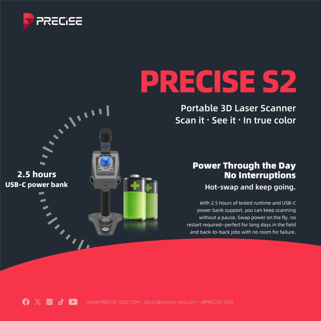
Power Through the Day.
No Interruptions.
Hot-swap and keep going.
With 2.5 hours of tested runtime and USB-C power bank support, you can keep scanning without a pause. Swap power on the fly, no restart required—perfect for long days in the field and back-to-back jobs with no room for failure.
One S2.
Many ScanStations Replaced.
Survey-grade detail with 40-line density and ≤1 cm accuracy.
PRECISE S2 delivers the precision and coverage of multiple tripod-based scanners—all in a single, compact unit.Capture high-density, colorized point clouds for BIM, security, and routine surveys—while cutting down on gear, setup time, and field crew.
Post-Processing Powerhouse
From scan to model — ready for your workflow.
Mesh-Ready Raw Data
Your data, your pipeline.
Full access to original scan and image data enables mesh modeling through custom SLAM integration — ideal for surveying, inspection, and digital twin applications.
Optimized for 3DGS Modeling
Sharper images, better reconstruction.
With a 1-inch sensor and embedded pose encoding, photos are sharp, color-accurate, and precisely aligned — perfect for high-fidelity 3DGS reconstruction.
Direct BIM/CAD Integration
Point clouds that fit right in.
Point clouds flow seamlessly into BIM and CAD platforms, accelerating accurate drafting and streamlining post-processing workflows.
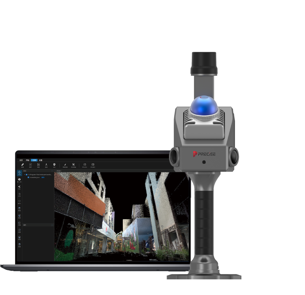
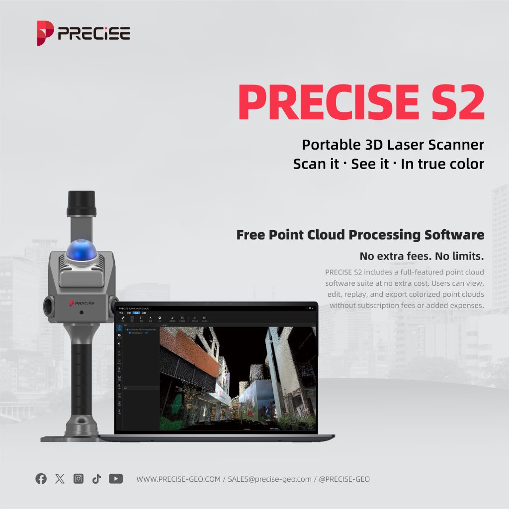
Free Point Cloud Processing Software
No extra fees. No limits.
PRECISE S2 includes a full-featured point cloud software suite at no extra cost. Users can view, edit, replay, and export colorized point clouds — without subscription fees or added expenses.


Detail Specification
BASIC
| Weihgt | Main Unit: 700g Grip Battery: 379g Overall: 1,079g |
| Protection Class | IP5X |
| Working Temperature | -20 ℃ to 55 ℃ |
| Storage Temperature | -20 ℃ to 60 ℃ |
| WIFI | WIFI 6, Support 2.4G/5G 802.11 a/b/g/n/ac/ax WIFI 2.4G:2.400 ~ 2.4835 GHz WIFI 5G:5.15 ~ 5.35GHz、5.47 ~ 5.725GHz 5.725 ~ 5.85GHz |
| WIFI Distance | 20m |
| Bluetooth | Support |
| Dimensions | Overall: 110.5 * 140 * 313.3mm Main Unit: 110.5 * 114 * 143.1mm |
| Storage Capacity | 256 G(Support memory expansion) |
| Supply Voltage | 13.2 V ~ 16.8 V |
| Working Power | < 24 W |
| Interface | TF Card slot / Type-C |
| Processor Performance | 8-core 64-bit processor, clock speed 2.4 GHz |
RTK
| RTK Accuracy | HHorizontal: 0.8 cm + 1 ppm Vertical: 1.5 cm + 1 ppm |
| Support Regions | China / Overseas |
| Support Satellite | BDS: B1I, B2I, B3I, B1C, B2a, B2b GPS: L1C/A, L1C, L2C, L2P(Y), L5 GLONASS: L1, L2, L3 Galileo: E1, E5a, E5b, E6 QZSS: L1C/A, L1C, L2C, L5 NavIC: L5 SBAS: L1 |
CAMERA
| Sensor Size | 13.13 * 8.76 mm; 1 inch |
| Pixel Size | 2.4 μm |
| Image Size | 3504 * 4672 pixels |
| Effective Pix | Single lens 16 million |
| Shutter Type | Mechanical shutter Electronic shutter |
| Aperture | Fixed F2.8 |
| Focal Length | 3.5 mm |
| Lens Number | 2 |
| Lens FOV | Horizontal: 140° Vertical: 200° |
| Image Format | JPG |
V-SLAM CAMERA
| Focal Length | 1.68 mm |
| Image Pixel | 1280 * 800 pixels |
| Effective Pixels | 1 million |
| Frame Rate | 30 Hz |
BATTERY
| Battery Capacity | T45.36 wh (3150 mAh) |
| Supply Voltage | 14.8 V ~ 16.8 V |
| Working Time | 150 min |
| Charging Port | Type-C |
| Charging Power | PD 30 W |
| Charging Time | IEE120 min |
DATA & SOFTWARE
| Point Cloud Thickness | ≤ 1cm |
| Relative Accuracy | ≤ 1cm |
| Absolute Accuracy | ≤ 5cm |
What our customers are saying about us

Sophia Chen
China
“PRECISE S2’s real-time color point cloud preview on mobile is simply amazing. It saves us so much time on-site and gives instant visual feedback for every scan.”

Alejandro Vargas
Mexico
“Having free access to the point cloud processing software was a pleasant surprise. It’s powerful, intuitive, and completely eliminates the need for third-party tools.”

Tariq Al-Mansoori
UAE
“The 10cm close-range detection and anti-interference performance are incredible. We’ve scanned crowded industrial sites with zero data corruption.”

David Green
Australia
“PRECISE S2 integrates seamlessly into our BIM workflow. We go from scan to CAD with minimal hassle, and the results are spot-on every time.”
Take the Leap to Superior Accuracy
Get Your PRECISE Today!
Unlock precision and efficiency with PRECISE. Order now and take your projects to the next level.
Don’t wait—transform your work today!
PRECISE social media:
PRECISE Sales Team: sales@precise-geo.com or clik
PRECISE Tech Team: support@precise-geo.com or clik
PRECISE Marcom Team: marcom@precise-geo.com or clik