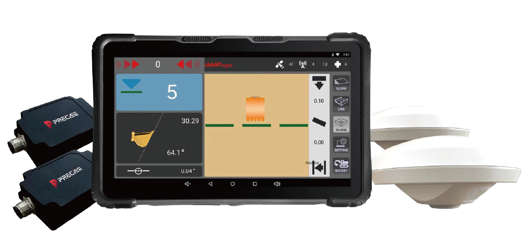
Excavator Guidance System
PRECISE E2
Dig Precisely. Work Independently. Finish with Confidence.

Algorithmic Magic to Enhance ‘Precision, Reliability, and Ease’, for an Exceptional User Experience.
Super-high Fix Rate
99.9%
Our product achieves exceptional positioning accuracy.
On average, only 1 out of every 1,000 positioning attempts,
This precision ensures unparalleled reliability for critical applications.
*Fix rate and accuracy can be affected by external conditions such as multipath, obstacles, satellite geometry, and atmospheric conditions.

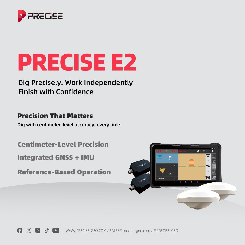
Precision That Matters
Dig with centimeter-level accuracy, every time.
Centimeter-Level Precision
±1.5 cm horizontal. ±3 cm vertical.
Ideal for slope trimming, channel clearing, and fine grading — deliver consistent results and reduce costly rework.
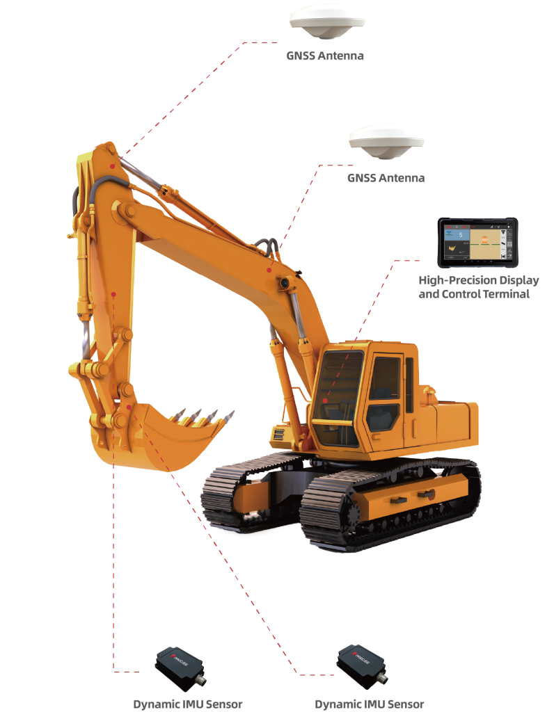
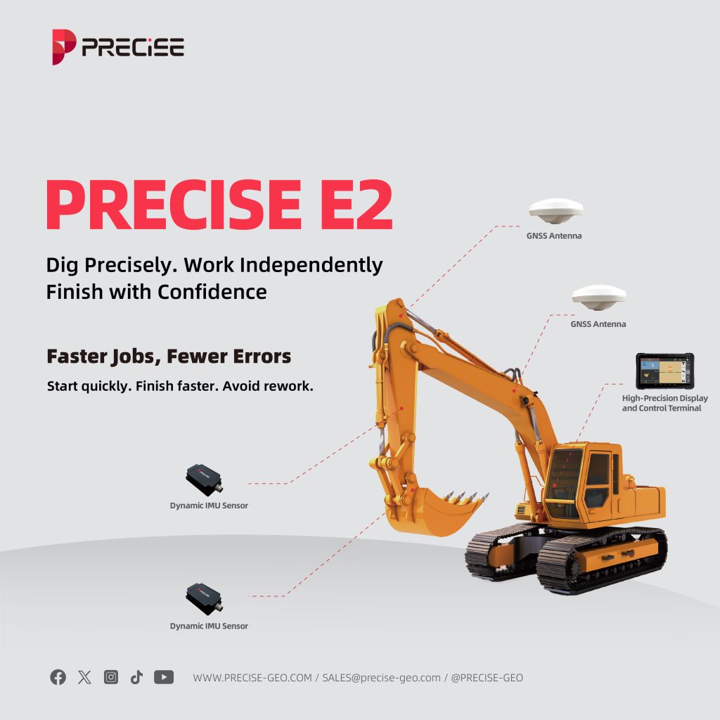
Integrated GNSS + IMU
Real-time tracking of bucket depth, angle, and position.
Combines RTK positioning and inertial sensing to provide live feedback, even during movement or in blind spots.
Reference-Based Operation
Set your benchmark. Dig with control.
All measurements are calculated from a defined RTK reference point — ensuring repeatable, accurate execution.
Faster Jobs, Fewer Errors
Start quickly. Finish faster. Avoid rework.
Quick Setup & Operation
Easy installation and calibration-no specialized equipment required.
Modular hardware and guided calibration make the system ready to use in minutes, even for first-time users.
One-Man Excavation
No layout crew needed.
Operators can dig independently without surveyors or external guides — increasing efficiency and reducing labor.
First-Pass Accuracy
Get it right the first time.
Visual depth and tilt indicators help avoid trial-and-error digging, cutting down job duration and fuel use.
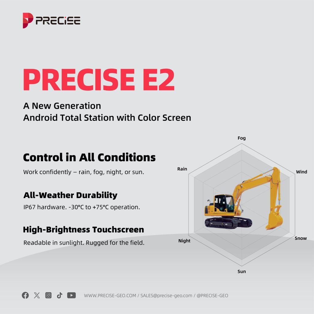
Control in All Conditions
Work confidently — rain, fog, night, or sun.
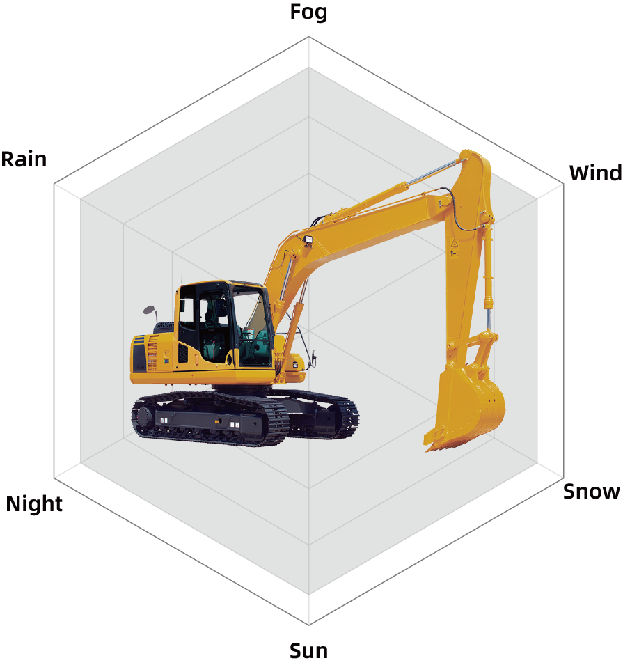
All-Weather Durability
IP67 hardware. -30°C to +75°C operation.
Built for harsh environments — from tunnels to wet sites, freezing mornings to scorching afternoons.
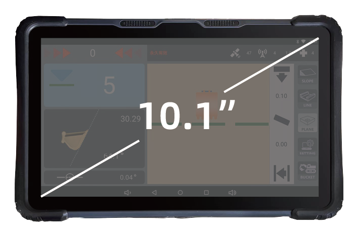
High-Brightness Touchscreen
Readable in sunlight. Rugged for the field.
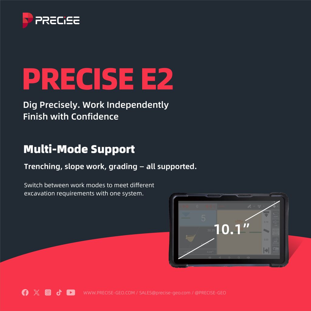
10.1” glove-friendly LCD with IP67 protection — easy to use, day or night.

Multi-Mode Support
Trenching, slope work, grading — all supported.
Switch between work modes to meet different excavation requirements with one system.
Stay Connected, Stay Productive
Strong signal. Smooth data. Easy updates.
All-Constellation GNSS
BDS, GPS, GLONASS, Galileo, QZSS, NAVIC — all included.
Multi-frequency, 1590-channel tracking ensures stable fixes even in obstructed areas.
Built-In 4G & Radio
Always connected — online or offline.
Supports dual SIM cellular and UHF radio (0.5W–2W), enabling remote or local communications without extra modules.
Wireless Tools & Updates
Wi-Fi/Bluetooth pairing + optional OTA.
Connect to mobile devices for diagnostics or future updates.
Fit for Your Fleet
Adaptable to your excavator, project, and team.

Compatible with Major Brands
Works with CAT, Komatsu, Hyundai, and others.
Mounts on most mainstream excavators — large or compact.
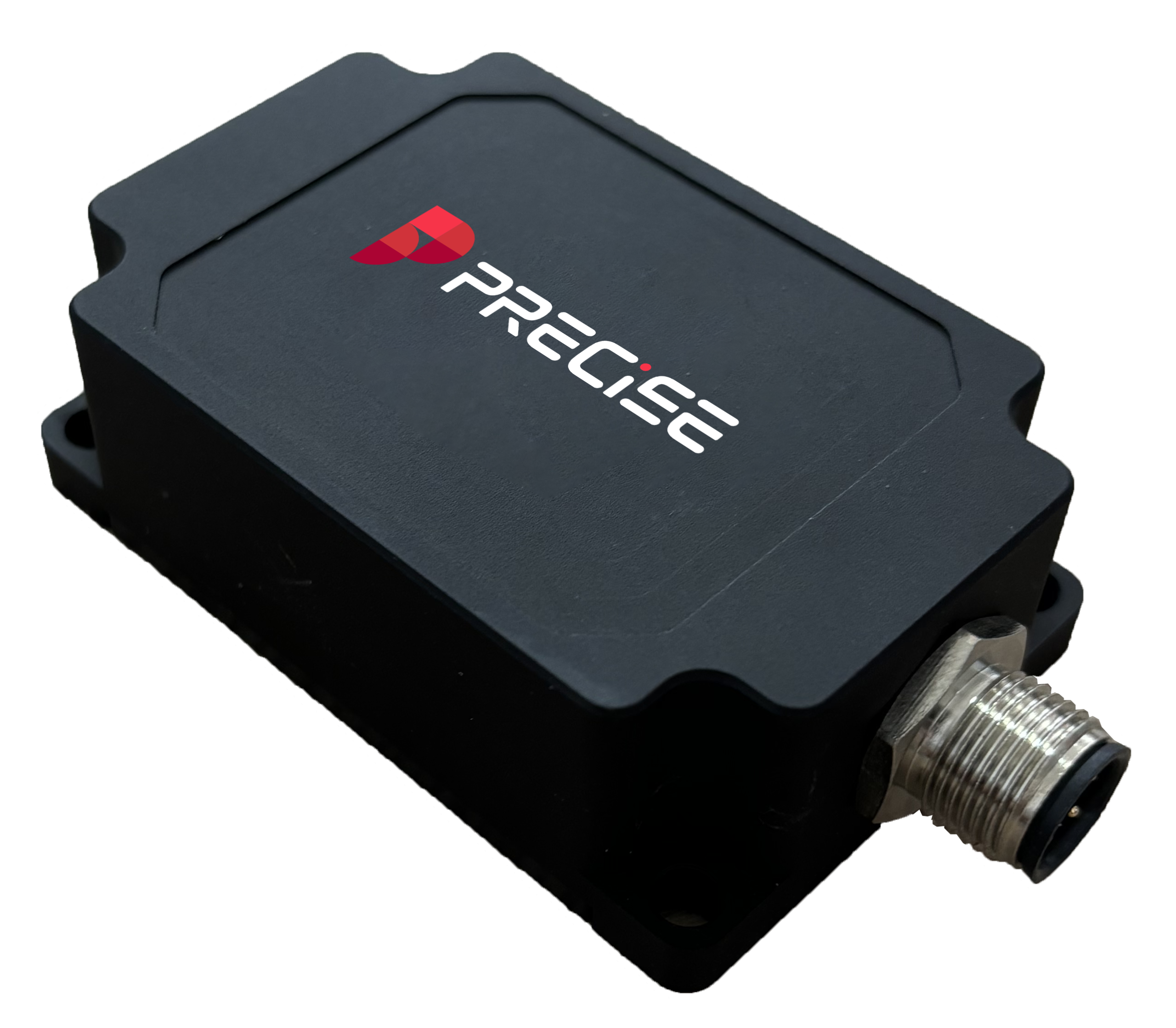
Modular & Compact
Quick to install. Easy to maintain.
Designed for minimal cab intrusion, simplified wiring, and fast field replacement.
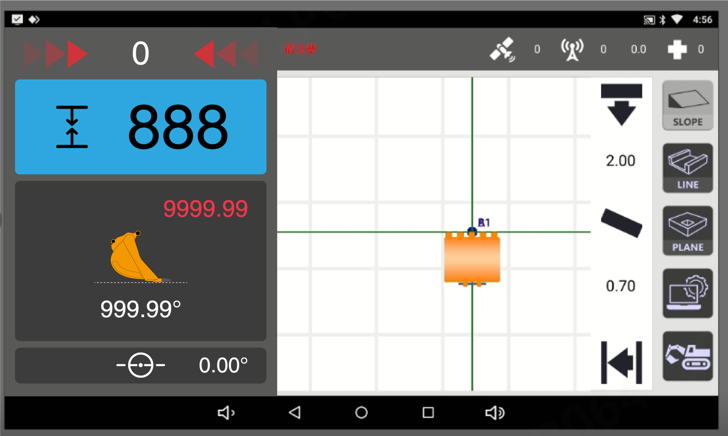
Simple & Focused
Purpose-built for precise depth and tilt guidance — no unnecessary complexity.
No clutter, no distractions — just the core tools operators need to dig accurately and efficiently.


Detail Specification
Communication Configuration
| 4G | Dual SIM cards, full-network compatibility. |
| Radio | Adjustable power (0.5 W, 1 W, 2 W); Frequency range: 410 MHz–470 MHz, step 12.5 Hz; Air baud rate: 19.2 kbps, 9.6 kbps. |
| Bluetooth | BT4.2, BR/EDR + BLE. |
| WIFI | IEEE 802.11. |
Satellite Systems
| BDS | HB1l, B2I, B31, B2b* |
| GPS | L1C/A, L2P, L2C |
| GLONASS | G1, G2 |
| Galileo | E1, E5b |
| QZSS | L1C/A, L2C |
| SBAS | L1C/A |
Display and Control Terminal
| Size | 10.1-inch LCD screen |
| CPU | Octa-core |
| Storage | 2 GB RAM, 16 GB ROM |
| Resolution | 1280 × 720 |
| Battery | N/A |
Environmental Characteristics
| Operating temperature | -30°C to +75°C |
| Storage temperature | -40°C to +85°C |
| Protection rating | IP67 |
| Power supply | DC 6V–36V |
System Accuracy
| Horizontal accuracy | ±1.5 cm |
| Elevation accuracy | ±3 cm |
| Heading angle | 0.15°/R (R is the baseline length of dual antennas) |
| Pitch/roll angle | 0.25°/R (R is the baseline length of dual antennas) |
| Bucket dynamic attitude accuracy | 0.2° |
What our customers are saying about us

Luis
Mexico
“We no longer need a survey crew on-site. Just me and the machine — that’s it.”

Andi
Indonesia
“Once we set the reference point, everything else just flowed. Accurate and repeatable.”

Azman
Malaysia
“The setup was done in under 10 minutes. My team was shocked how easy it was.”

Marcelo
Brazil
“We installed it on four different excavators — all from different brands. No issues.”
Take the Leap to Superior Accuracy
Get Your PRECISE Today!
Unlock precision and efficiency with PRECISE. Order now and take your projects to the next level.
Don’t wait—transform your work today!
PRECISE social media:
PRECISE Sales Team: sales@precise-geo.com or clik
PRECISE Tech Team: support@precise-geo.com or clik
PRECISE Marcom Team: marcom@precise-geo.com or clik