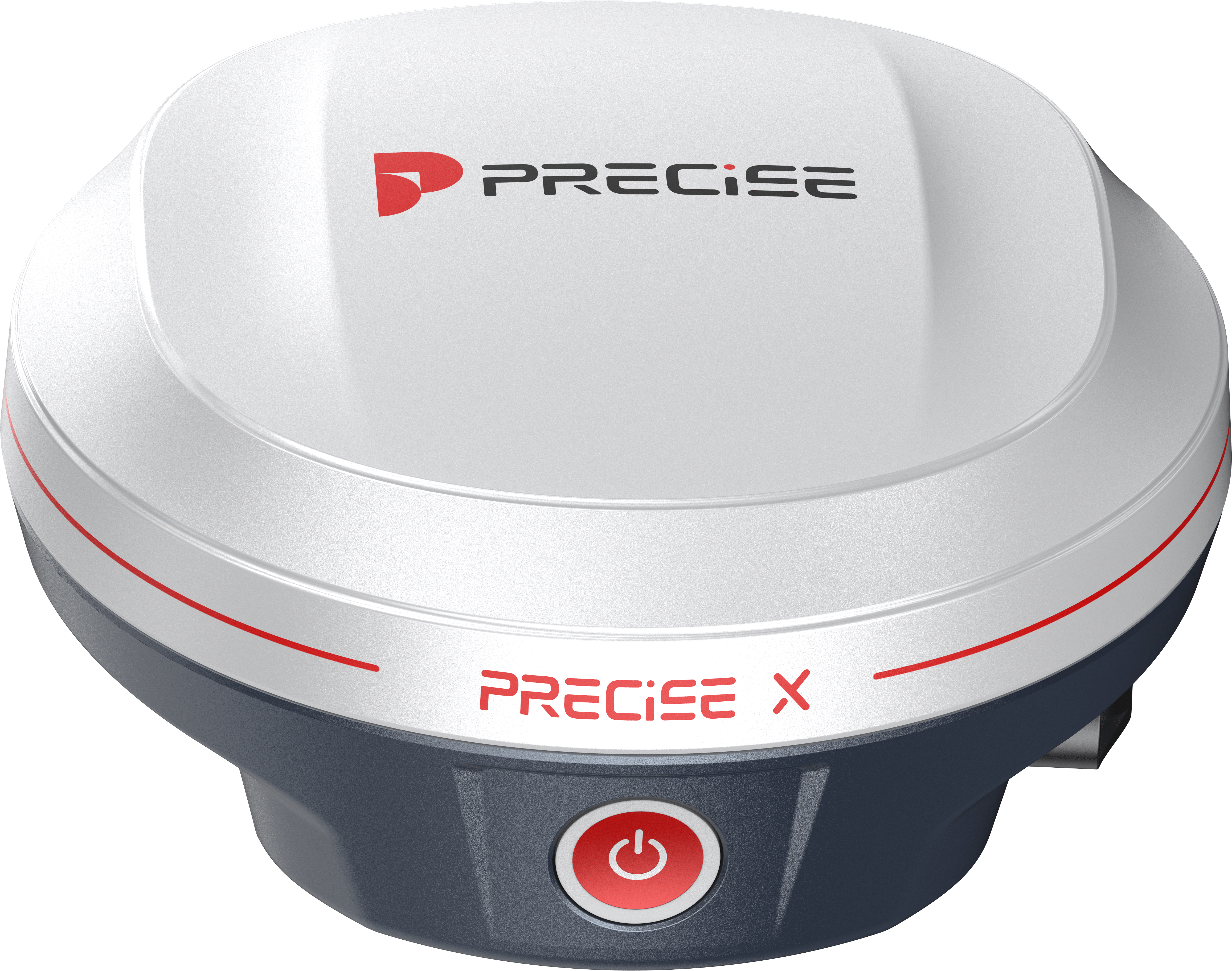
RTK RECEIVER
PRECISE X
Survey grade receiver with an Exceptional User Experience.

Algorithmic Magic to Enhance ‘Precision, Reliability, and Ease’, for an Exceptional User Experience.
Super-high Fix Rate
99.9%
Our product achieves exceptional positioning accuracy.
On average, only 1 out of every 1,000 positioning attempts,
This precision ensures unparalleled reliability for critical applications.
*Fix rate and accuracy can be affected by external conditions such as multipath, obstacles, satellite geometry, and atmospheric conditions.
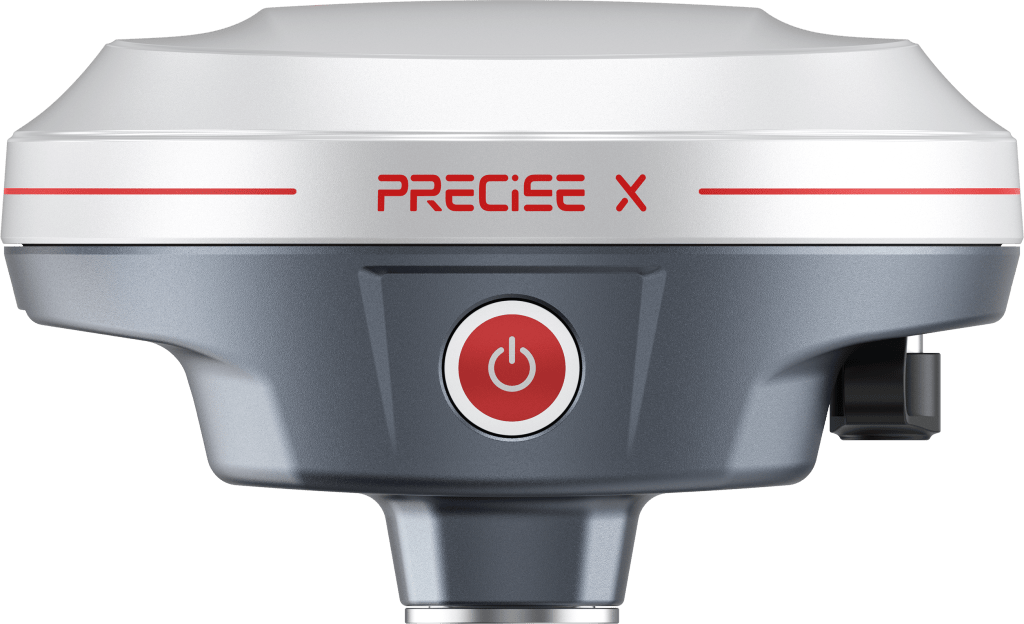
EASY-Fix
High-spec hardware ensures hassle-free positioning and settlement.
30% faster speed and 20% higher rate to get fixed under the same canopy
- 1,808 channels
- 21 frequencies & full constellation
- 8+1 RTK accuracy
- 5 sec to converge to CM accuracy
EASY-Surveying
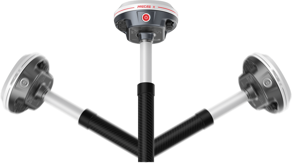
IMU overcoming conventional terrain constraints
while enhancing surveying flexibility and precision.
- Calibration-free
- Quick initialization
- Immune to magnetic disturbances
- 20mm accuracy at up to 60° angle
EASY-Stakeout
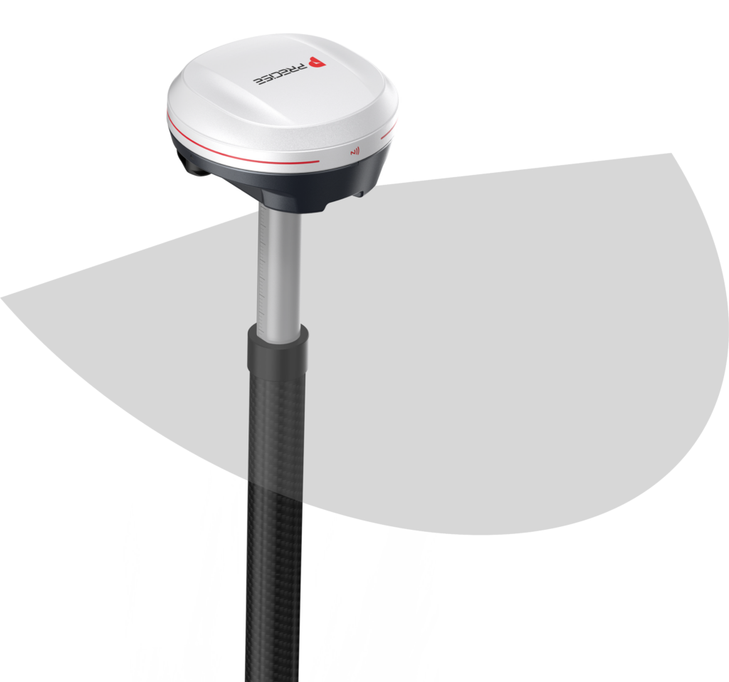
Real-time, precise AR visual
marking enhances accuracy and simplifies staking.
- 2mga CMOS sensor
- MM accuracy
- Visualized data display
EASY-Connecting
Versatile communication protocols enhance streamlined surveying and field operations.
- 4G internet modem
- 15km radio solution
- Worldwide PPP service
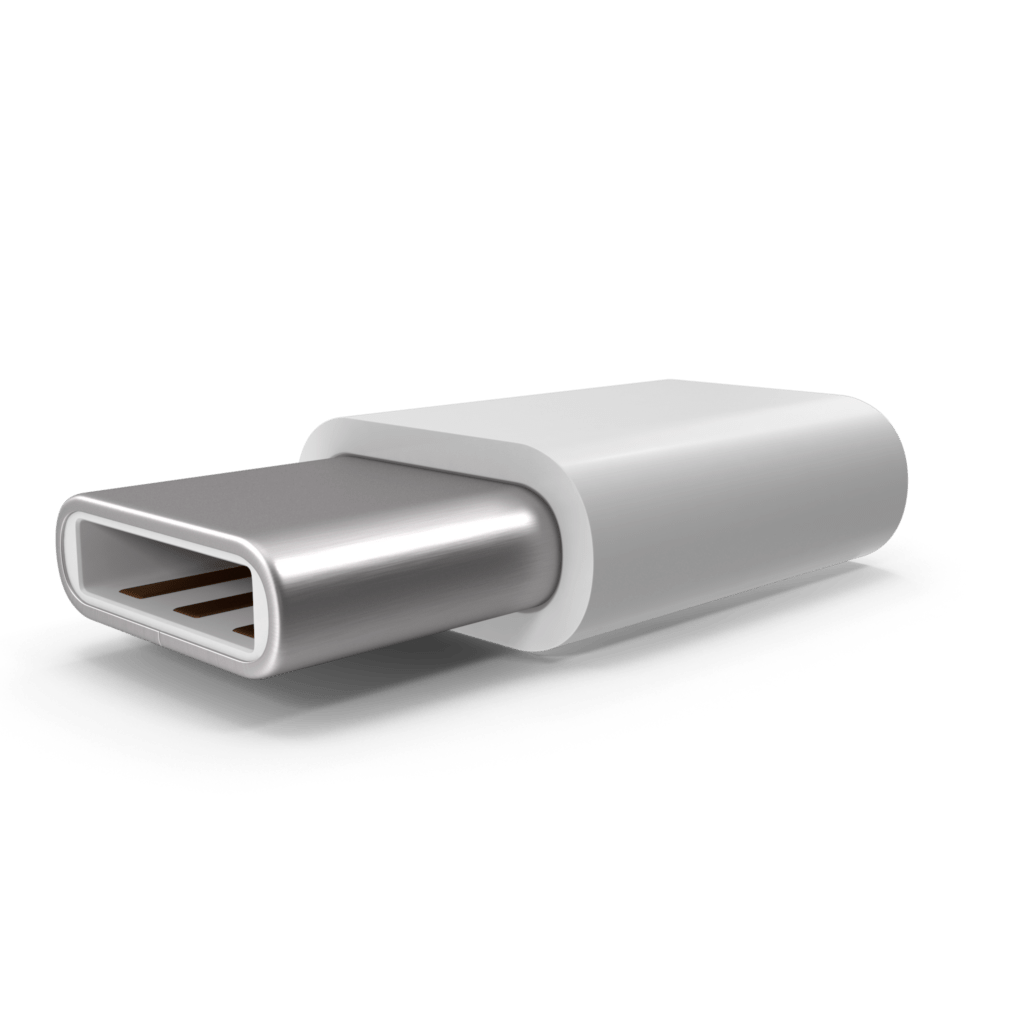
- Connect via IP, Bluetooth, Cable (Type-C)
EASY-Power
Extended Endurance for Uninterrupted Field Performance.
- 4.5 hours PD fast charging (Type-C)
- 28 hours working time with 6800mAh battery
- over 3,000 cycles of charging and discharging

Easy-Durability
Waterproof and Heat-Resistant Design for Extended Product Lifespan.
- 8-year designed lifespan
- Heat-Resistant aluminum housing
- IP68 waterproof & dustproof rating
PRECISE X Operation Tutorials
Detail Specification
SATELLITE PERFORMANCE
| Channels | 1,808 |
| GPS | L1C/A, L2C, L2P(Y), L5 |
| GLONASS | L1, L2 |
| BEIDOU | B1i, B2i, B3i, B1C, B2a, B2b |
| GALILEO | E1, E5a, E5b, E6 |
| QZSS | L1, L2, L5, L6 |
| SBAS | L1, L5 |
| L-Band | B2b PPP |
| Positioning Rate | 1-20Hz |
ACCURACY
| Code Differential | H: 0.40m (RMS) V: 0.80m (RMS) |
| Static | H: 2.5mm±0.5ppm (RMS) V: 5mm±0.5ppm (RMS) |
| Real-time Kinematic | H: 8mm±1ppm (RMS) V: 15mm±1ppm (RMS) |
| Network PPK | H: 8mm±0.5ppm (RMS) V: 15mm±0.5ppm (RMS) |
IMU MEASUREMENT
| Tilt Accuracy (No tilt angle limit) | 20mm within 60° |
CAMERA
| Optical Format | 1/5” |
| Pixel Size | 1.75*1.75μm |
| Active Pixel Array | 1616*1232 |
| Sensor | 2 mega CMOS imaging sensors |
DATA STORAGE
| Type & Storage | SSD 8GB External USB Pen drive |
| Data Tranfer | Type-C USB Transfer Supports FTP/HTTP download |
| Differential Format | RTCM 2.1, RTCM 2.2, RTCM 3.0, RTCM 3.1, RTCM 3.2, NMEA 0183, CMR, CMR+ |
| Static Data Format | DAT, RINEX 2.x, RINEX 3.x, BINEX |
| GPS Output Format | VRS, FKP, MAC |
| Network Model | Ntrip fully supportable |
COMMUNICATION
| I/O | Type-C (OTG+Fast Charge+Ethernet) |
| Antenna Port | All-in-one port for radio/GPRS antenna |
| Network Modem | Nano-SIM card LTE FDD, LTE TDD, UMTS, GSM |
| UHF Radio | 2W Tx/Rx 410-470MHz |
| Protocol | LoraLink, TrimTalk, SOUTH, TrimMark III, Satel, PCC |
| WiFi | IEEE 802.11 a/b/g/n/ac Hotspot/Data Link |
| Bluetooth | Bluetooth 2.1 + EDR and 4.0 |
| NFC | Available |
INTERFACES
| Button | 1 |
| LED Indicator | Data Link, Satellite, Bluetooth, Power |
POWER SUPPLY
| Battery | Internal Li-on Battery 3.6V, 13,600mAh |
| Operating Time | Static mode 20h Rover mode 15h |
PHYSICAL
| Dimension | 74mm(H), 128mm (W) |
| Weight | 740g |
| Operating Temp. | -30°C to 65°C |
| Storage Temp. | -40°C to 80°C |
| Proof | IP68 water and dust proof 2m drop on hard surface 40G 10ms sawtooth wave |
What our customers are saying about us

Alexei Ivanov
Russia
“PRECISE X has significantly enhanced our construction projects with its outstanding accuracy and reliability. It’s a game-changer for our workflow.”

Mei Ling
China
“Using PRECISE X in our land surveying has greatly improved our efficiency and precision. It’s an indispensable tool for our operations.”

Carlos Mendes
Brazil
“PRECISE X’s high precision and ease of use have transformed our archaeological surveys, making data collection faster and more accurate.”

Miguel Torres
Mexico
“PRECISE X has been instrumental in streamlining our construction site surveys, delivering precise and reliable results consistently.”
EXTERNAL RADIO
PRECISE PL2
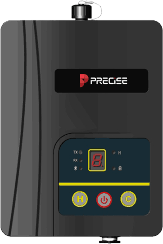
Our advanced External Radio designed to enhance your RTK Rover systems by extending communication range and ensuring stable signal transmission in challenging environments. With powerful signal transmission, reliable connectivity, and seamless integration with PRECISE RTK systems, the PL2 boosts your surveying accuracy and efficiency, making it the perfect companion for high-precision positioning needs.
Take the Leap to Superior Accuracy
Get Your PRECISE Today!
Unlock precision and efficiency with PRECISE. Order now and take your projects to the next level.
Don’t wait—transform your work today!
PRECISE social media:
PRECISE Sales Team: sales@precise-geo.com or clik
PRECISE Tech Team: support@precise-geo.com or clik
PRECISE Marcom Team: marcom@precise-geo.com or clik