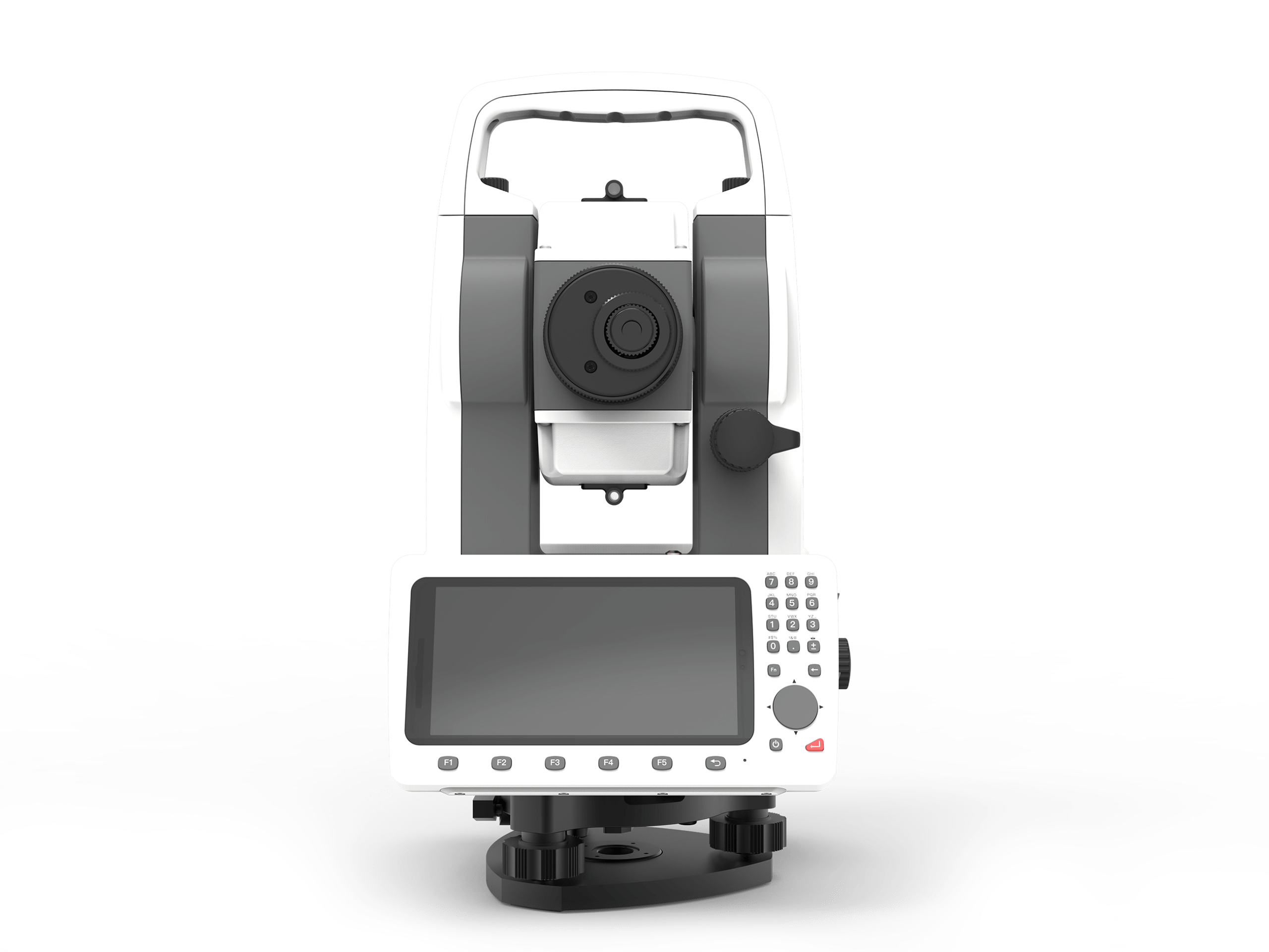
New-generation Android Total Station
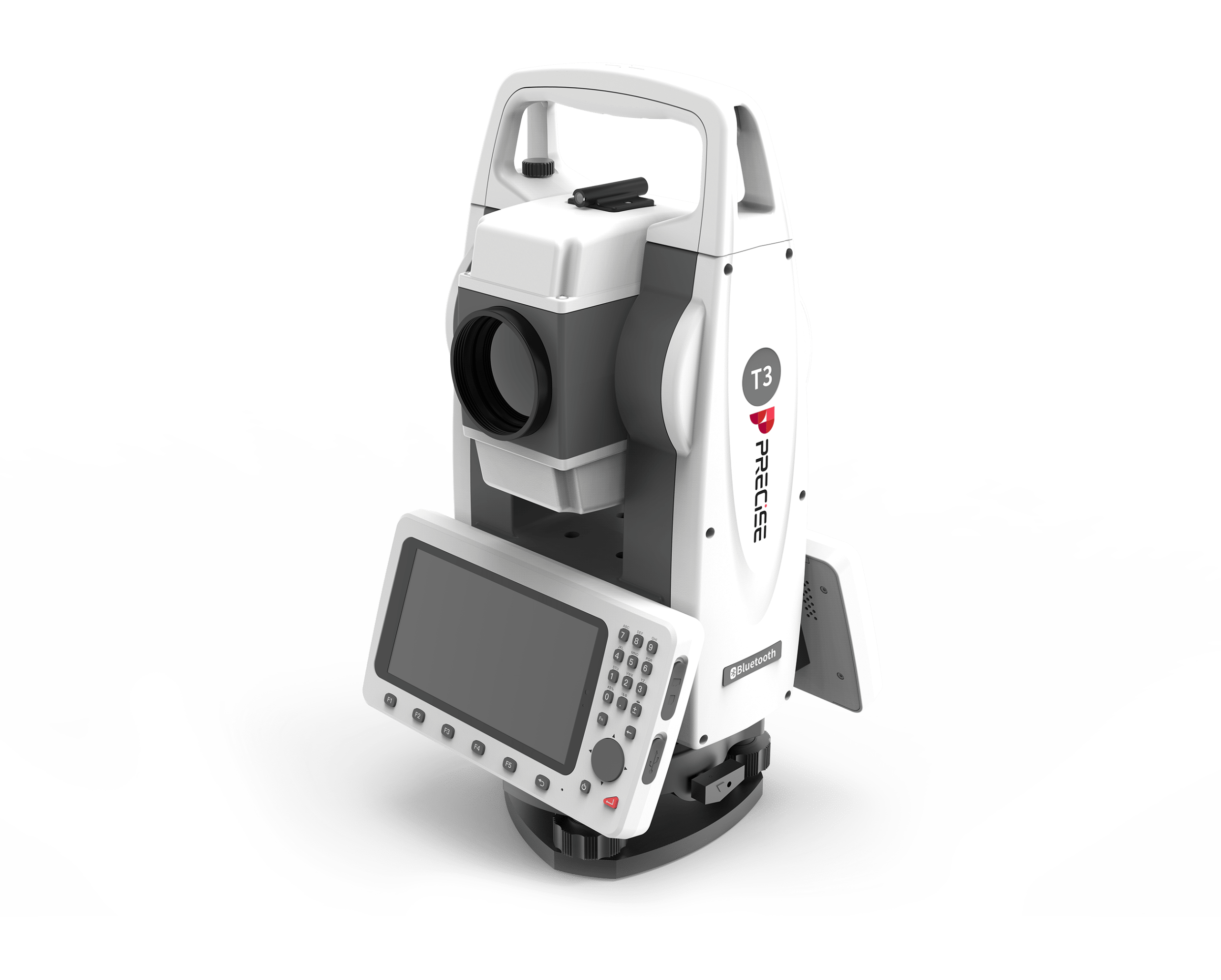
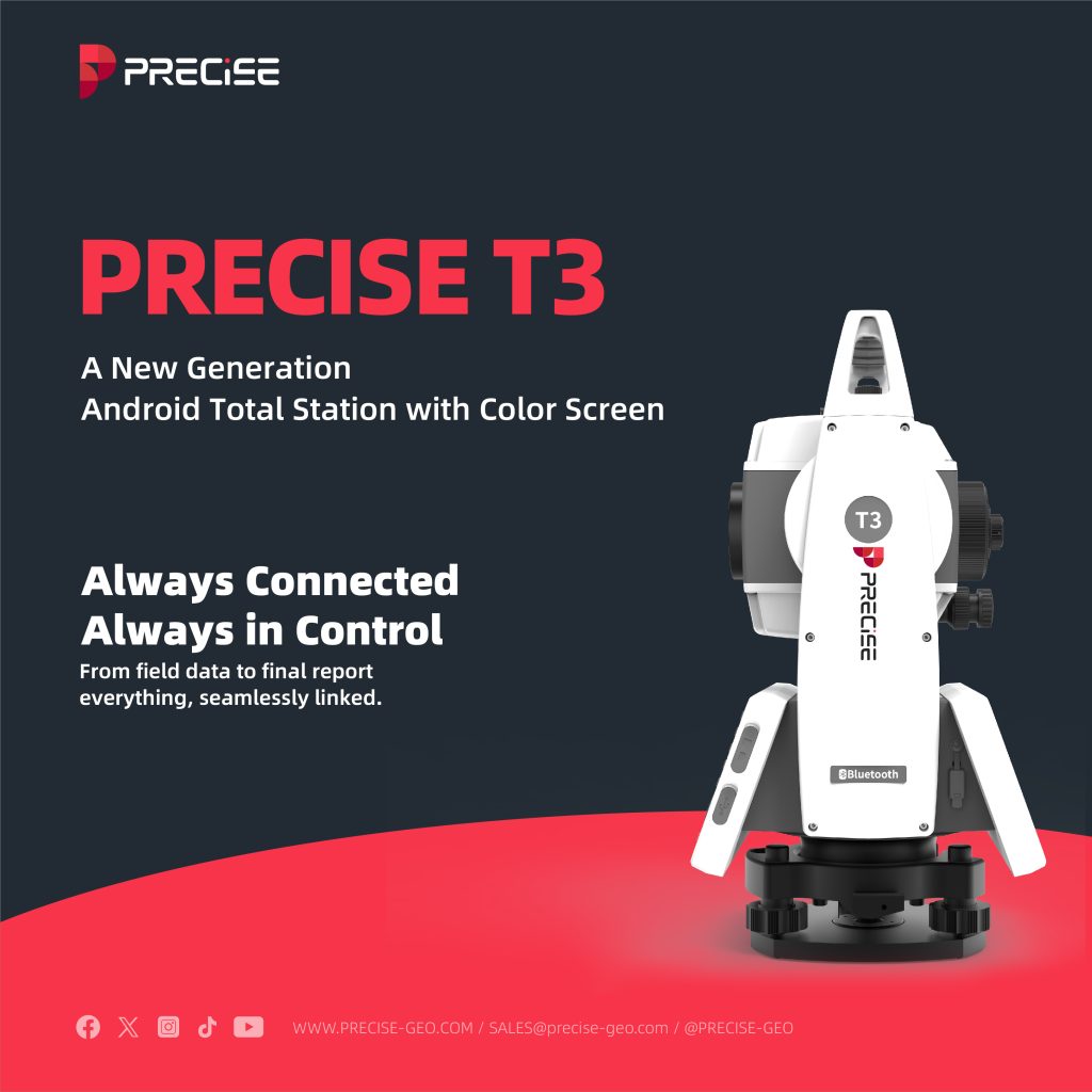
PRECISE T3
Smarter Surveying. Uncompromising Precision.

Algorithmic Magic to Enhance ‘Precision, Reliability, and Ease’, for an Exceptional User Experience.
Super-high Fix Rate
99.9%
Our product achieves exceptional positioning accuracy.
On average, only 1 out of every 1,000 positioning attempts,
This precision ensures unparalleled reliability for critical applications.
*Fix rate and accuracy can be affected by external conditions such as multipath, obstacles, satellite geometry, and atmospheric conditions.
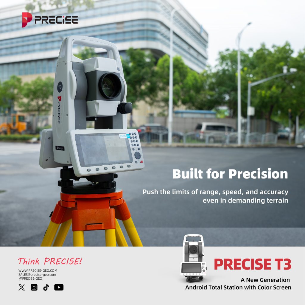
Built for Precision
Push the limits of range, speed, and accuracy — even in demanding terrain.
1000m Reflectorless EDM
±3mm + 2ppm Precision
Smarter range. Smoother results.
With advanced EDM tracking and real-time corrections, T3 maintains ±3mm + 2ppm precision at long distances — enabling faster, safer work even without prisms.
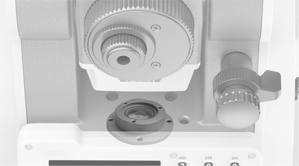
±4′ Dual-Axis Tilt Compensation
Level or not — your data stays right
Dual-axis electronic compensation ensures precise angle and distance results on slopes or uneven setups. No guesswork. No leveling delays.
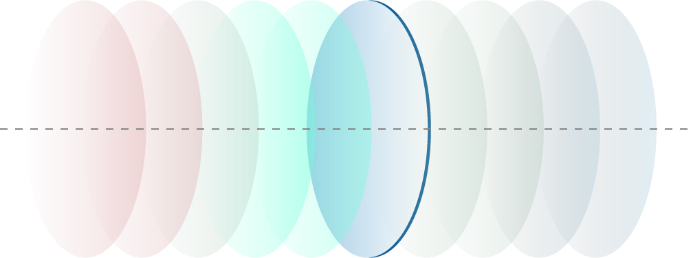
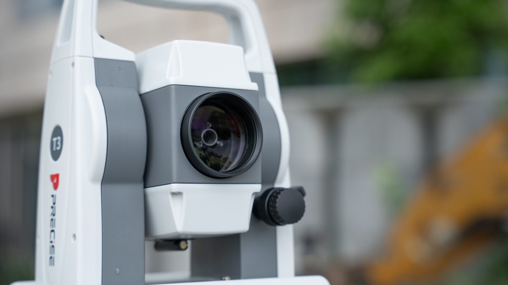
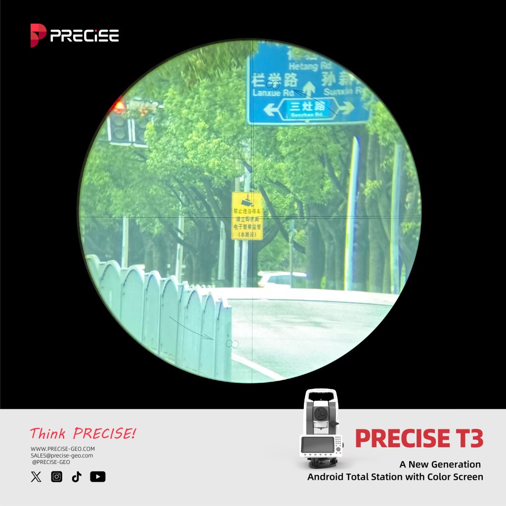
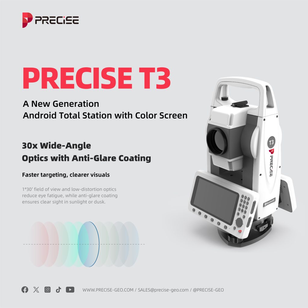
30x Wide-Angle Optics
with Anti-Glare Coating
Faster targeting, clearer visuals
1°30′ field of view and low-distortion optics reduce eye fatigue, while anti-glare coating ensures clear sight in sunlight or dusk.
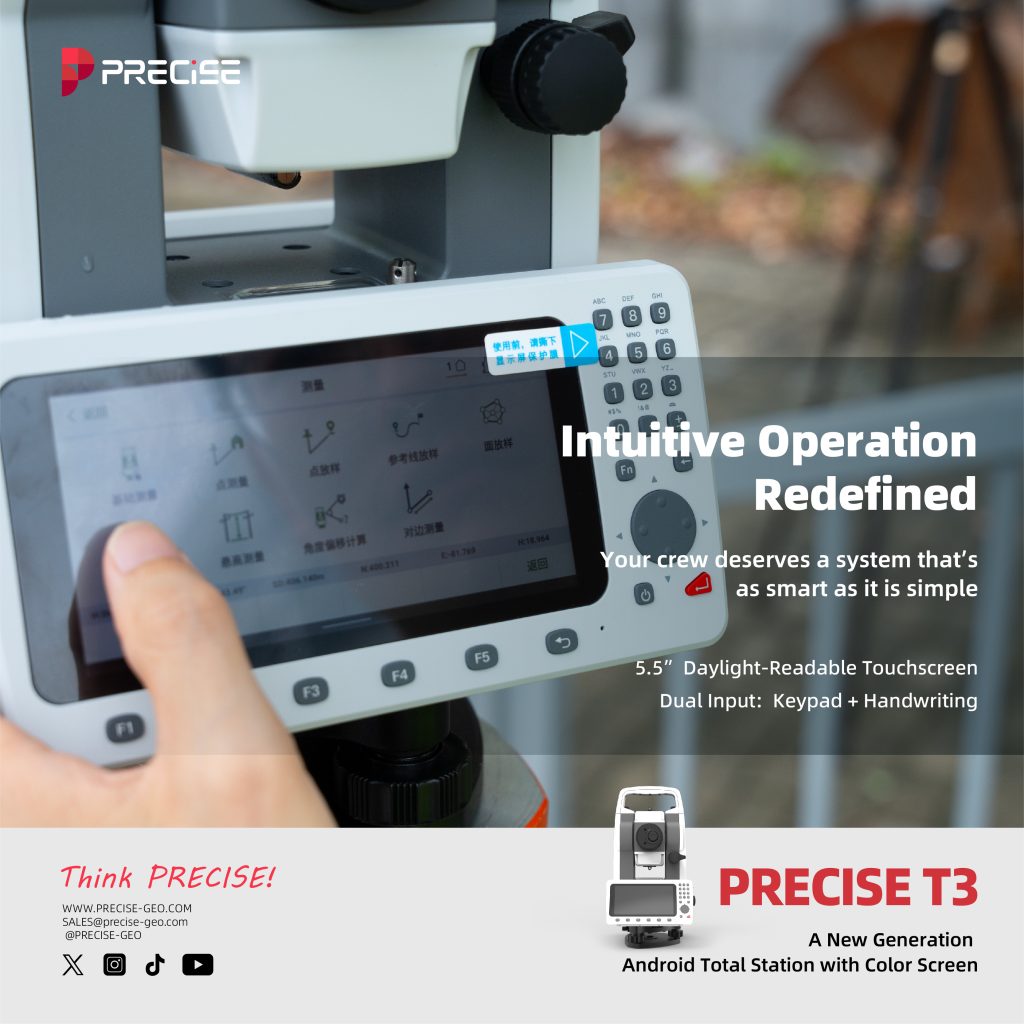
Intuitive Operation Redefined
Your crew deserves a system that’s as smart as it is simple.
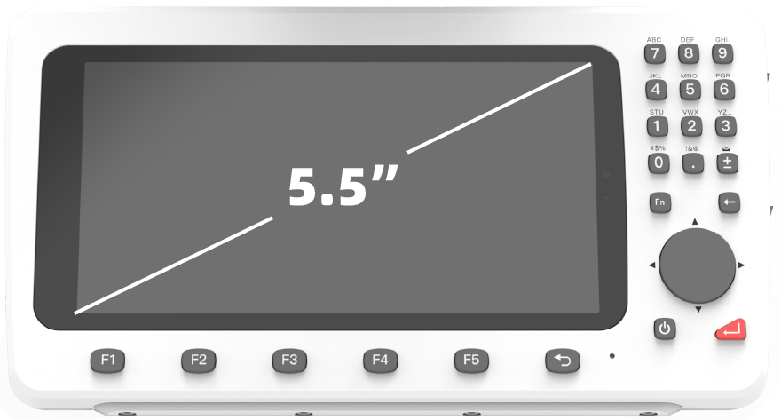
5.5” Daylight-Readable Touchscreen
See everything — even under the sun
800×480 semi-reflective panel delivers clear visuals even in 100,000 lux outdoor light. Scratch-resistant and glove-friendly.
Dual Input
Keypad + Handwriting
Faster for pros, easier for new hands
Full numeric keypad for speed. Handwriting for intuitive use. Supports multiple languages and character sets.
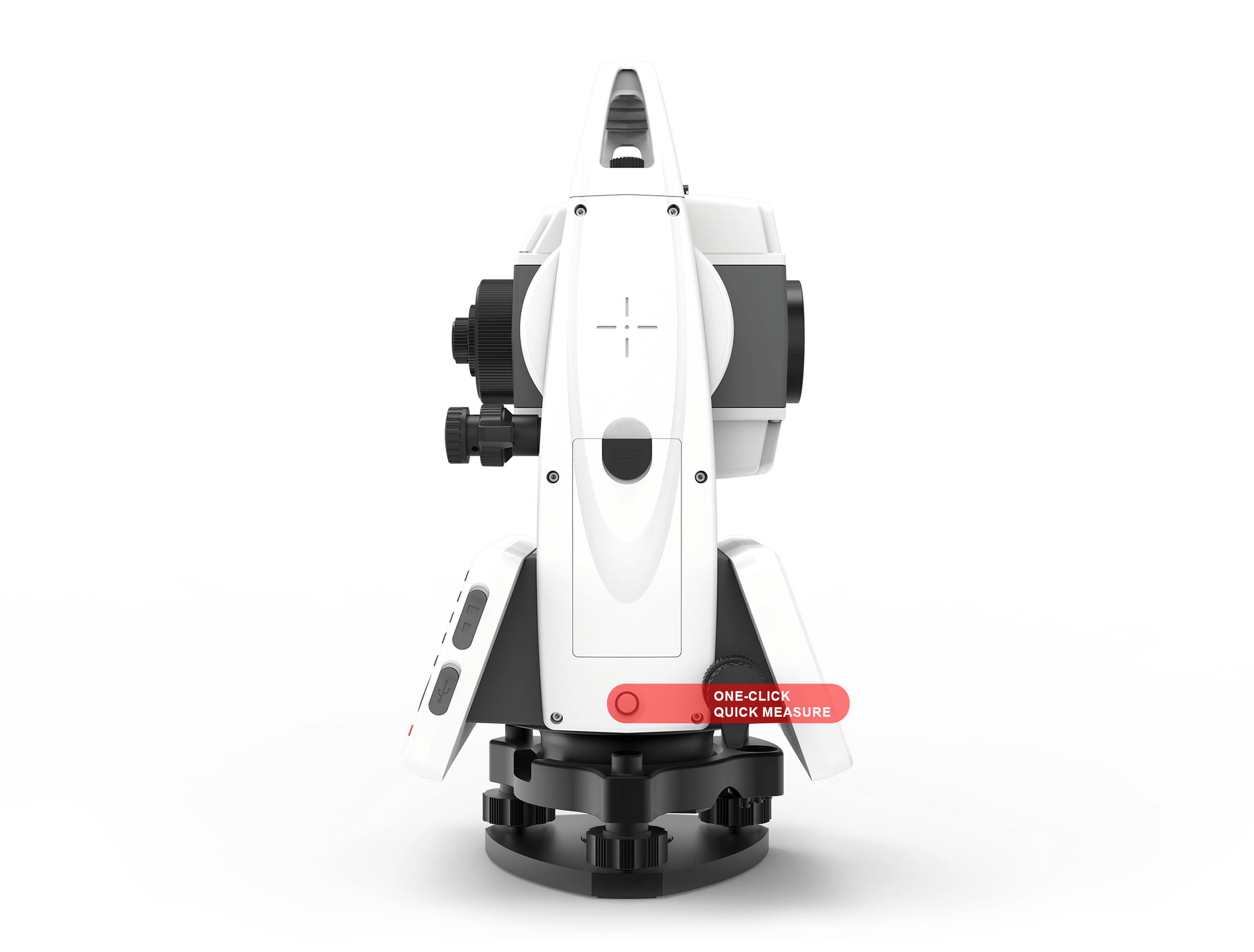
One-Click Quick Measure
Boost daily efficiency by 30%
A dedicated shortcut key instantly triggers measurement — no menu tapping. Ideal for repetitive layout tasks or solo work.
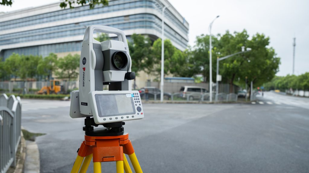
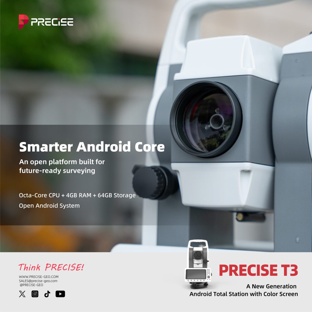
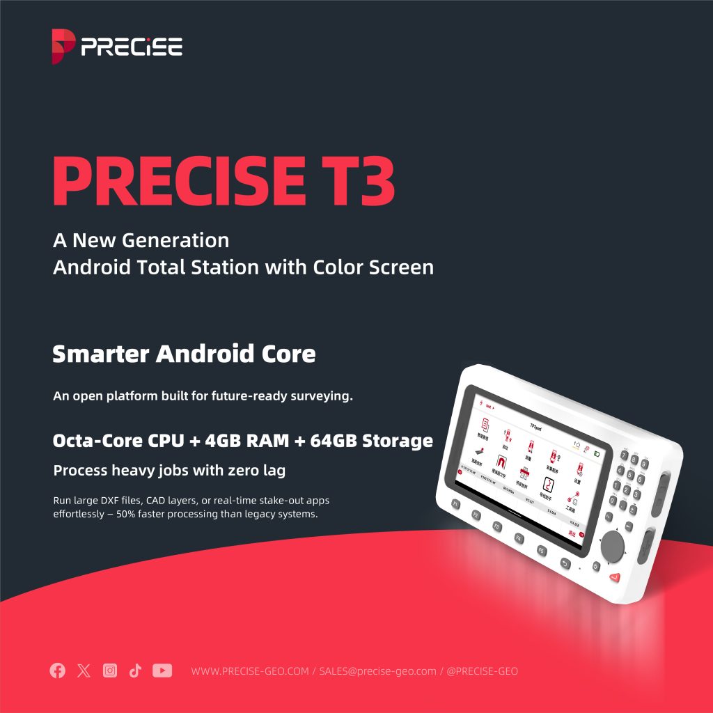
Smarter Android Core
An open platform built for future-ready surveying.

Octa-Core CPU
4GB RAM + 64GB Storage
Process heavy jobs with zero lag
Run large DXF files, CAD layers, or real-time stake-out apps effortlessly — 50% faster processing than legacy systems.

Open Android System
Customize. Connect. Scale.
Install third-party apps, run cloud sync tools, and build your own field workflow. No lock-in. Full flexibility.
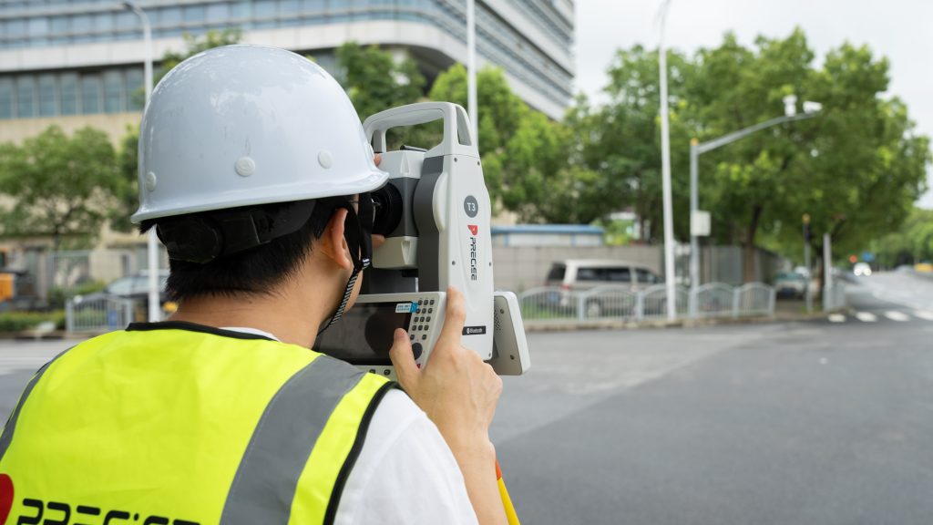
Always Connected, Always in Control
From field data to final report — everything, seamlessly linked.
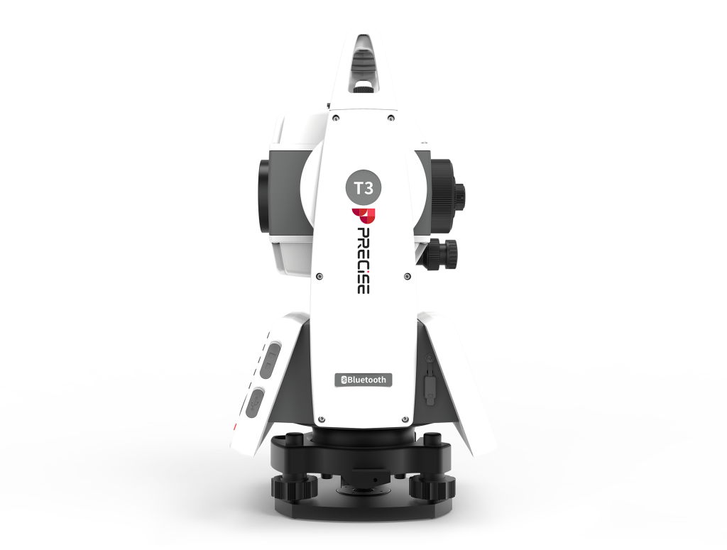
6-Way Data Communication
USB | Bluetooth | Wi-Fi | 4G | U-disk | Email
Instant file transfer or remote sync, wherever you are. Cut post-processing time by 40%.

Cloud Backup & OTA Firmware
Zero downtime. Always up to date.
Sync projects in real time and upgrade system remotely — no return-to-base needed. Save hours per job.
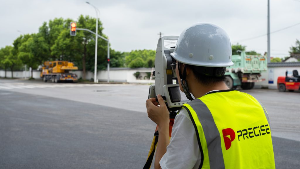
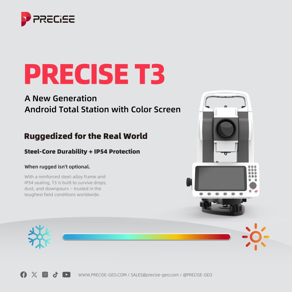
Ruggedized for the Real World
Harsh weather? Long hours? Rough transport? No problem.
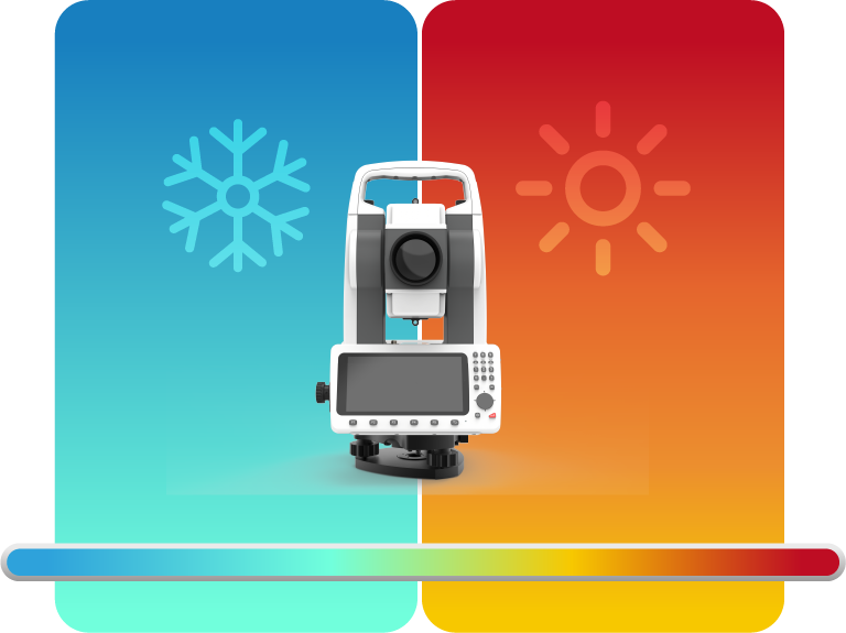
Steel-Core Durability
IP54 Protection
When rugged isn’t optional.
With a reinforced steel-alloy frame and IP54 sealing, T3 is built to survive drops, dust, and downpours — trusted in the toughest field conditions worldwide.
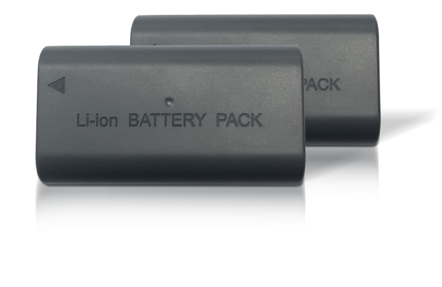
Extended Power with Dual Batteries
Stay charged, stay productive.
PRECISE T3 includes two 3400mAh batteries — one powers a full 8-hour workday, while the spare keeps you ready for the next shift. Simple to swap, built for long missions.

Detail Specification
TELESCOPE
| Imaging | Erect image |
| Magnification factor | 30x |
| Field of view | 1°30′ |
| The shortest line of sight | 1.7m |
| Resolution | 2.8″ |
ANGLE MEASUREMENT
| Precision | 2″ |
| Angle measurement method | Absolute encoding system |
| Minimum display unit | 1″ |
DISTANCE MEASUREMENT
| RANG | |
| High-precision reflective sheet | 200m |
| Single prism | 5,000m |
| Prism-free | 1,000m |
| ACCURACY | |
| High precision reflective sheet | ±(0.5mm+1×10⁻⁶×D) |
| Prism precision measurement | ±(1mm+1×10⁻⁶×D) |
| No prism | ±(3mm+2×10⁻⁶×D) |
| TIME | Precision test: 0.7 seconds Quick test: 0.5 seconds Tracking: 0.3 seconds |
| Minimum Display | Precision measurement and tracking: 0.1mm |
TILT COMPENSATOR
| Compensation method | Dual axis type |
| Compensation scope | ±4′ |
| Compensation resolution | 1″ |
LEVELING INSTRUMENT
| Cylindrical level gauge | 30″/2mm |
| Circular level gauge | 8’/2mm |
LASER ALIGNMENT DEVICE
| Precision | When the instrument height is 1.5 meters and the diameter is 1.5 millimeters |
| Wavelength | 635nm |
| Security classification | Class2 |
| Output power | 0.7-1.0nw |
POWER SUPPLY
| Main unit power supply | |
| Battery | 2x3400mAh lithium batteries |
| Low voltage buzzer | Turn off the device 10 minutes after the alarm goes off |
| Working hours | |
| Angle measurement | Single screen for 20h Dual-screen 12h |
| Measure distance + measure Angle | Single screen for 12h Dual-screen 8h |
PANEL
| Displa screen | 5.5-inch semi-translucent and semi-reflective touchscreeen |
| Keyboard keys | 26 |
| keyboard backighting | Yes |
ENVIRONMENTAL INDICATORS
| Working temperature | -20°C~+50°C |
| Storage temperature | -30°C~+55°C |
| Waterproof and dustproof | IP54 |
What our customers are saying about us

Michael Tran
Vietnam
“With PRECISE T3, I can finish daily layout tasks 30% faster — even when working solo. The one-click measurement is a real game changer.”

Luis Fernández
Spain
“I was surprised how smooth the Android system is. I installed our own apps, synced data over 4G, and didn’t need a PC at all.”

Nurul Hassan
Malaysia
“I’ve used many total stations, but T3 is by far the easiest to learn. I trained two new crew members in one morning — they were on site by lunch.”

Diego Martínez
Mexico
“The one-click shortcut, tilt correction, and reflectorless range make solo work smooth. I don’t need to wait for anyone to start measuring.”
Take the Leap to Superior Accuracy
Get Your PRECISE Today!
Unlock precision and efficiency with PRECISE. Order now and take your projects to the next level.
Don’t wait—transform your work today!
PRECISE social media:
PRECISE Sales Team: sales@precise-geo.com or clik
PRECISE Tech Team: support@precise-geo.com or clik
PRECISE Marcom Team: marcom@precise-geo.com or clik