

Algorithmic Magic to Enhance ‘Precision, Reliability, and Ease’, for an Exceptional User Experience.
Super-high Fix Rate
99.9%
Our product achieves exceptional positioning accuracy.
On average, only 1 out of every 1,000 positioning attempts,
This precision ensures unparalleled reliability for critical applications.
*Fix rate and accuracy can be affected by external conditions such as multipath, obstacles, satellite geometry, and atmospheric conditions.
Laser Survey
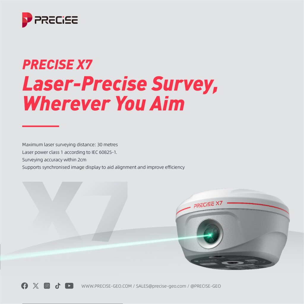
Laser-Precise Survey, Wherever You Aim!
Laser Survey allows users to visualize and mark design points directly on-site using laser projection, enabling fast, accurate, and contact-free layout work.
70m
Laser Survey Distance
<2.5cm
Accuracy within 30 meters
- Laser power class 1 according to IEC 60825-1
- Supports synchronised image display to aid alignment and improve efficiency
- Locations that are difficult for surveyors to reach (e.g., deep pits, riverbanks, cliffs, high-voltage lines, etc.)
- Places where GNSS signals are heavily blocked(e.g., the forest floor, the underpass.)
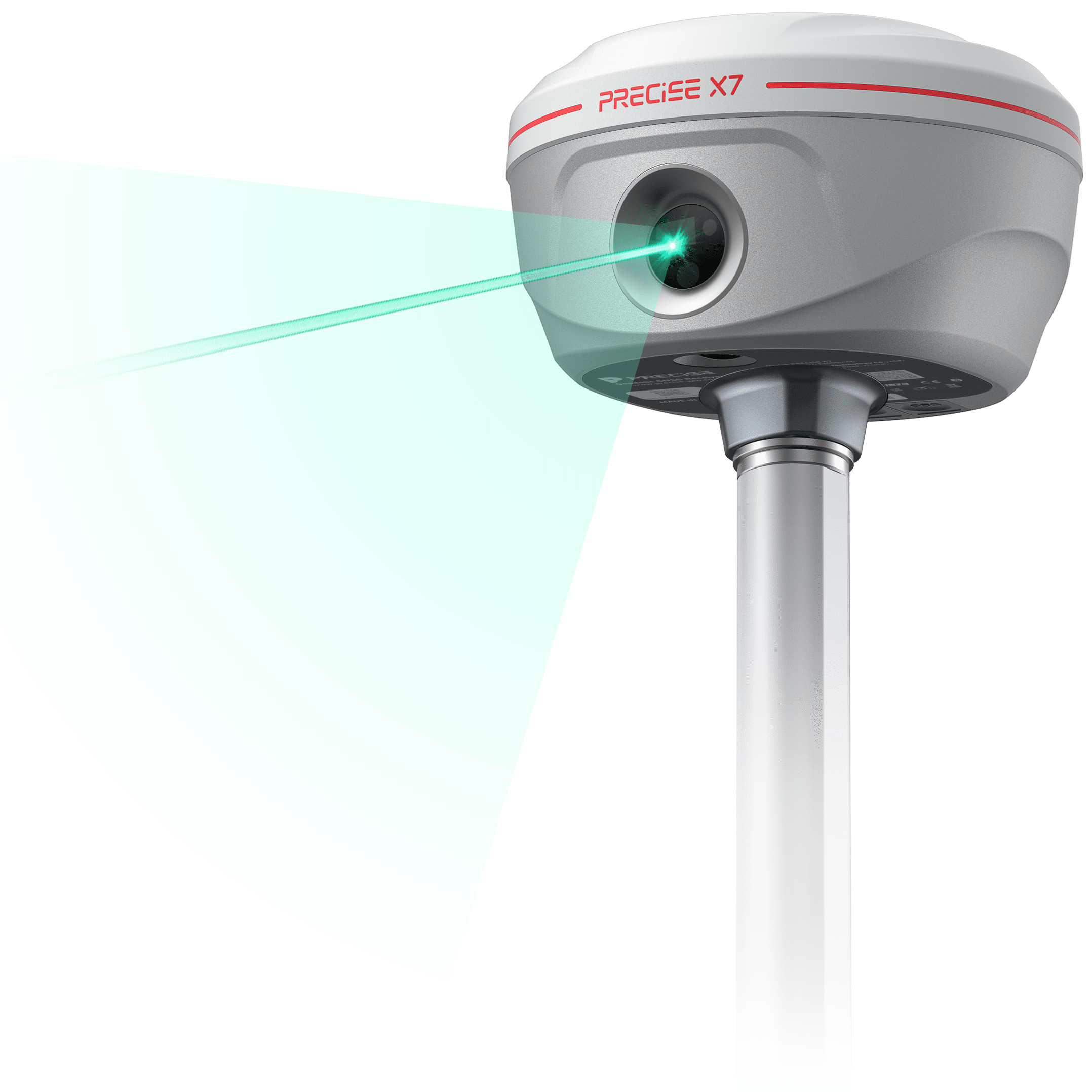
6x
Visibility Advantage
Our green laser light is 6x more visible than other’s red in daylight.
Due to the human eye’s peak sensitivity around 555 nm, green laser (520–532 nm) is perceived as 5 to 6 times brighter than red laser (635–650 nm) under daylight (>100,000 lux), improving visibility and usability in outdoor environments.
5x
Sharper Targeting
Allowing users to aim more precisely at distant or small targets.
With a beam divergence of ≤0.2 mrad, the laser spot size at 15 m remains ≤3 mm in diameter—over 5× smaller than typical red laser modules (~1 mrad), resulting in significantly reduced aiming uncertainty and higher pointing precision.
Any Surface
Surface Response Consistency
From reflective metal to rough concrete, our green laser delivers reliable targeting where others struggle.
Green laser exhibits higher return signal stability on diffuse and low-reflectivity surfaces—including concrete, oxidized metal, bark, and painted wood—thanks to better scattering capture and shorter wavelength, which improves performance where red lasers tend to lose signal.
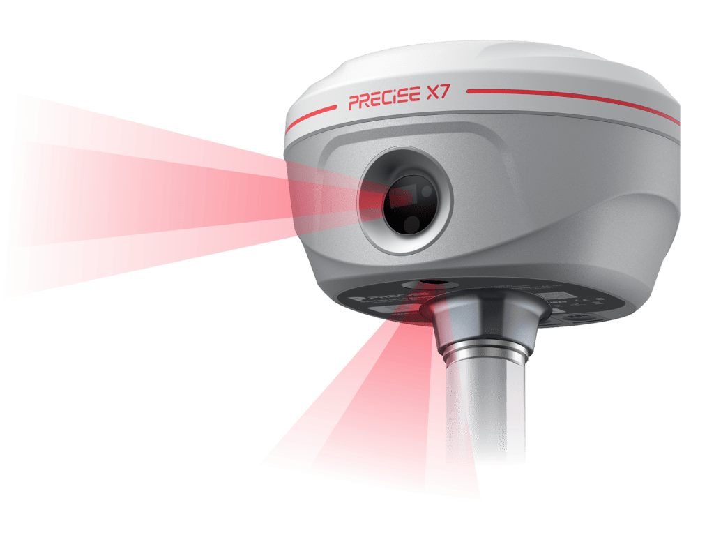
AR Stakeout
Bring your blueprint to life with X7 AR Layout!
Through the combination of dual high-definition wide-angle cameras and IMU sensors, the AR function can accurately superimpose the points in the design drawings into the real scene, realising WYSIWYG visualisation of sampling operations.
2cm
AR alignment accuracy
- Work can still be carried out in bright light
Tilt Survey
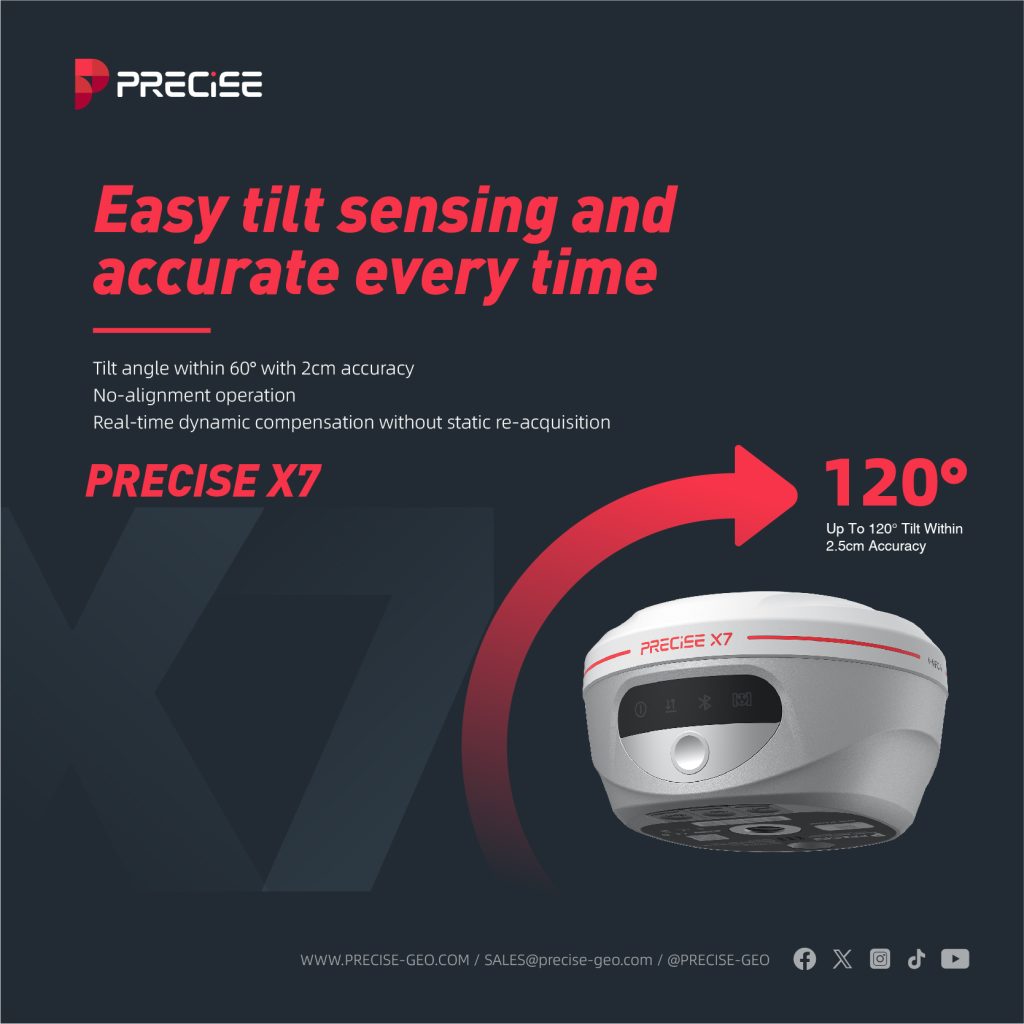
Easy tilt sensing and accurate every time!
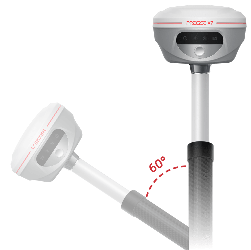
Built-in IMU module supports tilt survey, enabling measurement without alignment
<2cm
Accuracy within 60°
±60°
IMU tilt angle
- no-alignment operation
- Real-time dynamic compensation without static re-acquisition
- Perfect for collecting precise data on slopes, ditches, and rugged landscapes without the need for vertical positioning.
- Ideal for surveying manholes, fire hydrants, and other roadside infrastructure where vertical pole placement is difficult or unsafe.
Feature Setup
Built-in & External Radio
In this demo, we walk you through setting up the PRECISE X7 with both built-in radio and external radio options.
Just a few steps to switch seamlessly and keep your communication stable across different field conditions.
Feature Setup
NFC, Bluetooth & Wi-Fi
This video shows you how to set up NFC, Bluetooth, and Wi-Fi on the PRECISE X7.
From quick pairing to wireless data transfer, PRECISE X7 makes connectivity simple and intuitive.




Detail Specification
GNSS
| Channels | 1,408 |
| GPS | L1C/A, L2C, L2P(Y), L5 |
| GLONASS | L1, L2 |
| BEIDOU | B1i, B2i, B3i, B1C, B2a, B2b |
| GALILEO | E1, E5a, E6 |
| QZSS | L1, L2, L5, L6 |
| SBAS | L1 |
| Output frequency | Maximum 20Hz |
| Operating System | st (Linux) |
| Initial time | <5s (classical) |
| Initialization reliability | 99.99% |
| Static H | ±(2.5mm+0.5*10-6*D) |
| Static V | ±(5mm+0.5*10-6*D) |
| RTK H | ±(8mm+1.0*10-6*D) |
| RTK V | ±(15mm+1.0*10-6*D) |
IMU feature
| IMU | Support |
| IMU accuracy | Accuracy within 60° <2cm |
| IMU tilt angle | 0°~120° |
Data format
| Differential Format | RTCM2.X、RTCM3.X |
| GPS Output Format | NMEA 0183S RJK、Binary code |
Function
| Voice | Support |
| Tilt survey | Support |
| PPK survey | Support |
| Speaker | Support |
| NFC | NFC flash link |
Physical
| Dimension | 119*92mm |
| Weight | 0.56kg (0.76kg) |
| Indicator | Satellite Light Data Light Power Light Bluetooth Light |
| Operating temperature | -45℃ ~ +75℃ |
| Storage temperature | -55℃ ~ +85℃ |
| Waterproof&Dustproof | IP65 |
| Vibration | IK08 |
| Anti-Drop | Resistant to 1.8 meter drop with rod |
Static storage
| Static data format | TXT |
| Storage space | 8G |
Power Supply
| Battery capacity | 7.4V, 7000mAh Battery |
| Battery life | Rover and CORS mode 20 hours Base mode 7.5 hours |
| External power supply | Support USB port for external power supply support rechargeable battery |
COMMUNICATION
| I/O Interface | 1 x USB Type-c, support power supply, charging and transmission 1 x SMA radio antenna connector |
| Wireless Built-in Network | Support Bluetooth, Handbook 4G Optional: Wi-Fi, Built-in 4G-LTE B1/B3/B5/B7/B8/B20B38/B40/B41B1/B5/B8B3/B8GPS/GLONASS/BeiDou(Compass)/Galileo/QZSs |
| Internal radio power | Built-in 2w transceiver radio |
| Built-in radio frequency | 410-470MHZ |
| Protocol | TRIMTALK450S, TRIMMARKIII, TRANSEOT, SOUTH, SATEL |
Camera
| Camera Pixel | 5M&5M Dual HD Camera Large Viewing Angle Support AR Stakeout |
Laser Tilt Measurement
| Function | 3D error 0.008+0.005*D Tilt angle ≤30° |
Photogrammetry
| Function | Support |
What our customers are saying about us

Lucas Martín
Argentina
“The Laser Survey feature on the PRECISE X7 has made our site measurements faster and more accurate than ever. It’s like pointing and locking onto success every time.”

Sergey Petrov
Russia
“The Tilt Survey capability saves me so much time. I don’t have to level the pole perfectly anymore — measurements stay precise even when the rover is tilted.”

Thanaporn Wichai
Thailand
“PRECISE X7’s Laser Survey function works flawlessly under bright sunlight and in rugged terrains. Our efficiency has increased dramatically.”

Ahmed Al-Mansoori
United Arab Emirates
“Laser Survey technology of the PRECISE X7 enables fast, one-person operations even on large construction sites. We’ve cut survey times by nearly 40%.”
Take the Leap to Superior Accuracy
Get Your PRECISE Today!
Unlock precision and efficiency with PRECISE. Order now and take your projects to the next level.
Don’t wait—transform your work today!
PRECISE social media:
PRECISE Sales Team: sales@precise-geo.com or clik
PRECISE Tech Team: support@precise-geo.com or clik
PRECISE Marcom Team: marcom@precise-geo.com or clik