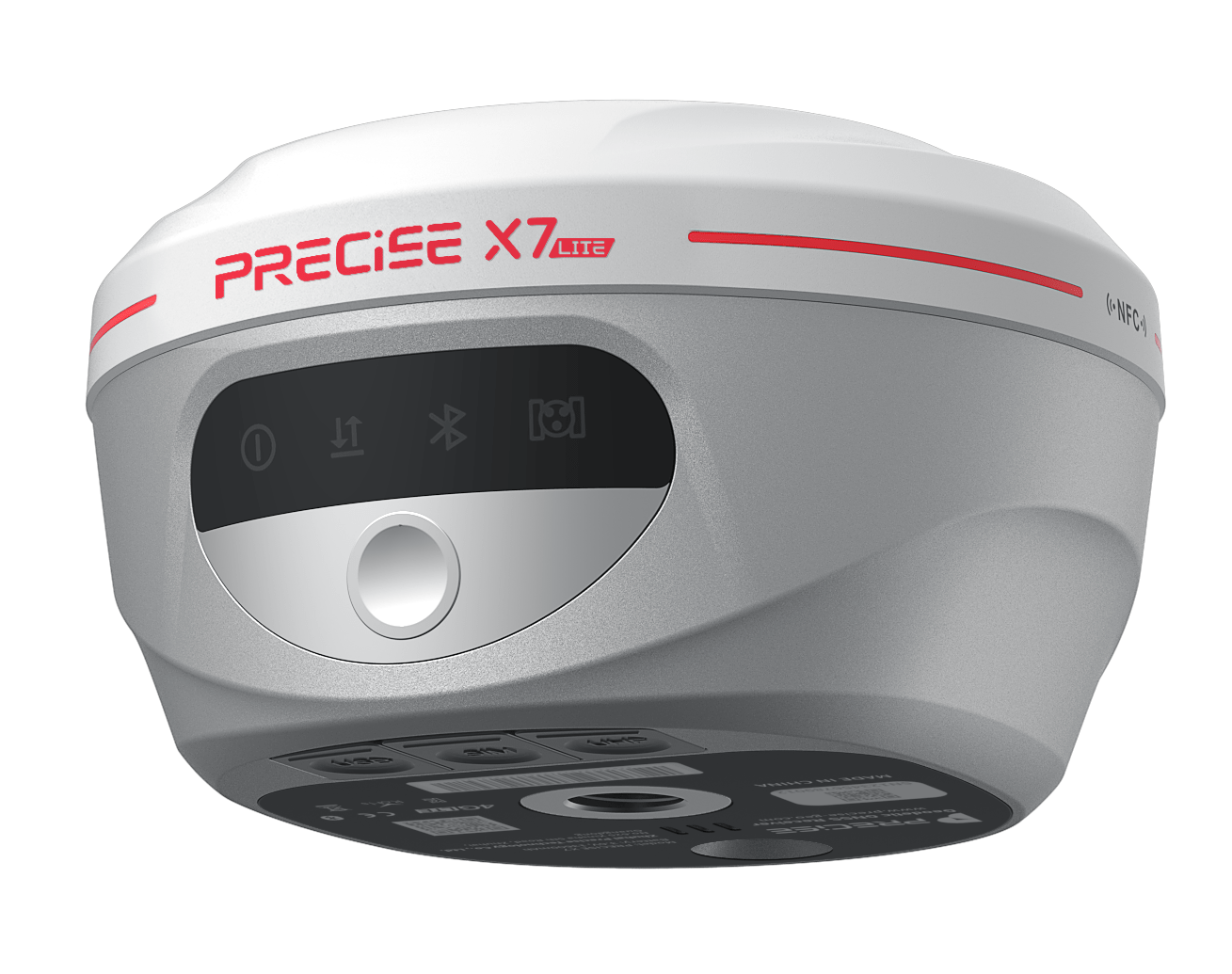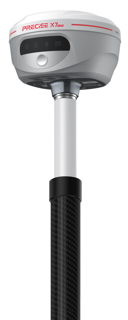

Algorithmic Magic to Enhance ‘Precision, Reliability, and Ease’, for an Exceptional User Experience.
Super-high Fix Rate
99.9%
Our product achieves exceptional positioning accuracy.
On average, only 1 out of every 1,000 positioning attempts,
This precision ensures unparalleled reliability for critical applications.
*Fix rate and accuracy can be affected by external conditions such as multipath, obstacles, satellite geometry, and atmospheric conditions.
Tilt Survey
Easy tilt sensing and accurate every time!
Built-in IMU module supports tilt survey, enabling measurement without alignment
<2cm
Accuracy within 60°
±60°
IMU tilt angle
- no-alignment operation
- Real-time dynamic compensation without static re-acquisition
- Perfect for collecting precise data on slopes, ditches, and rugged landscapes without the need for vertical positioning.
- Ideal for surveying manholes, fire hydrants, and other roadside infrastructure where vertical pole placement is difficult or unsafe.

Detail Specification
GNSS
| Channels | 1,408 |
| GPS | L1C/A, L2C, L2P(Y), L5 |
| GLONASS | L1, L2 |
| BEIDOU | B1i, B2i, B3i, B1C, B2a, B2b |
| GALILEO | E1, E5a, E5b, E6 |
| QZSS | L1, L2, L5, L6 |
| SBAS | L1 |
| Output frequency | Maximum 50Hz |
| Operating System | Linux |
| Initial time | <5s (classical) |
| Initialization reliability | 99.99% |
| Static H | ±(2.5mm+0.5*10-6*D) |
| Static V | ±(5mm+0.5*10-6*D) |
| RTK H | ±(8mm+1.0*10-6*D) |
| RTK V | ±(15mm+1.0*10-6*D) |
IMU feature
| IMU | Support |
| IMU accuracy | Accuracy within 60° <2cm |
| IMU tilt angle | 0°~120° |
Data format
| Differential Format | RTCM2.X、RTCM3.X |
| GPS Output Format | NMEA 0183、Binary code |
Function
| Tilt survey | Support |
| PPK survey | Support |
| Buzzer | Support |
| Voice | Support |
| NFC | NFC flash link |
Physical
| Dimension | 129*78mm |
| Weight | 0.79kg |
| Indicator | Satellite Light Data Light Power Light Bluetooth Light |
| Operating temperature | -45℃ ~ +75℃ |
| Storage temperature | -55℃ ~ +85℃ |
| Waterproof&Dustproof | IP67 |
| Vibration | IK08 |
| Anti-Drop | Resistant to 1.8 meter drop with rod |
Static storage
| Static data format | TXT |
| Storage space | 8G |
Power Supply
| Battery capacity | 7.4V, 7000mAh Battery |
| Battery life | Rover and CORS mode 20 hours Base mode 7.5 hours |
| External power supply | Support external power supply via USB port Support power bank |
COMMUNICATION
| I/O Interface | 1 x USB Type-c, support power supply, charging and transmission 1 x SMA radio antenna connector |
| Wireless Built-in Network | Support Bluetooth, handheld 4G, Wi-Fi, built-in 4G-LTE/, WEB terminal LTE-TDD: B38/B40/B41 LTE-FDD: B1/B3/B5/B7/B8/B20UMTS/HSPA+ B1/B8 GSM/GPRS/EDGE 900/1800 MHz |
| Internal radio power | Universal transceiver + Lora (2W) |
| Built-in radio frequency | 410-470MHZ |
| Protocol | TRIMTALK450S,TRIMMARKⅢ,SOUTH |
What our customers are saying about us

Rajiv Kumar
India
“The PRECISE X7 Lite is perfect for our fieldwork. It delivers accurate results without unnecessary complexity, and the Tilt Survey keeps our data precise even on rough terrain.”

Miguel Torres
Mexico
“We upgraded to X7 Lite for its simplicity and value. The Tilt Survey is a game changer for uneven sites.”

Yusuf Al-Farsi
Oman
“For our rural projects, X7 Lite is unbeatable. It’s robust, accurate, and doesn’t burden our budget.”

Alexei Ivanov
Russia
“Our team loves the X7 Lite for its precision and simplicity. Tilt Survey ensures accuracy even on sloped terrain.”
Take the Leap to Superior Accuracy
Get Your PRECISE Today!
Unlock precision and efficiency with PRECISE. Order now and take your projects to the next level.
Don’t wait—transform your work today!
PRECISE social media:
PRECISE Sales Team: sales@precise-geo.com or clik
PRECISE Tech Team: support@precise-geo.com or clik
PRECISE Marcom Team: marcom@precise-geo.com or clik