
GNSS Receivers & Accessories
See the Point, Not Just the Numbers.
Bottom-camera visual guidance for stakeout, one receiver that works as base or rover, and on-receiver control for routine setup — built for everyday RTK survey work.
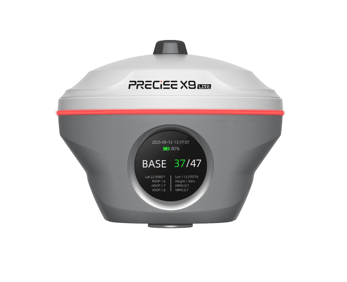
An everyday RTK receiver built around visual stakeout — bottom-camera visual guidance, flexible base-and-rover operation, tilt survey, on-receiver control, and PRECISE MATRIX positioning in one unit, for survey and stakeout work that doesn't need X9's long-range laser or image measurement, but benefits from a more intuitive way to find the target and more flexibility from a single receiver.
Challenge
Traditional stakeout means reading direction and distance, walking toward the target, and checking again. And field crews often need one receiver to cover both base and rover roles without carrying separate units.
Solution
X9 Lite's bottom camera turns the final approach into something you can just see and walk to. The same receiver works as base or rover, with a built-in display for routine settings — no controller needed. Tilt survey and PRECISE MATRIX positioning keep the rest of the job fast and consistent.
Value
Less time reading values, more time moving to the point. One receiver instead of two, fewer trips back to the controller.
Key Benefits
Why X9 Lite
Real-scene guidance in the live camera view
Bottom-Camera Visual Stakeout
See the target in the live camera view instead of reading numbers — PRECISE reports up to 30% higher stakeout efficiency. Actual coordinates still come from RTK positioning, not the camera image; gains vary with site conditions.
0MP
Bottom Camera
0h
Rover / CORS Runtime
The bottom camera turns coordinate-based direction and distance into a point you can see directly in the live view.
One receiver, either role
Base & Rover Flexibility
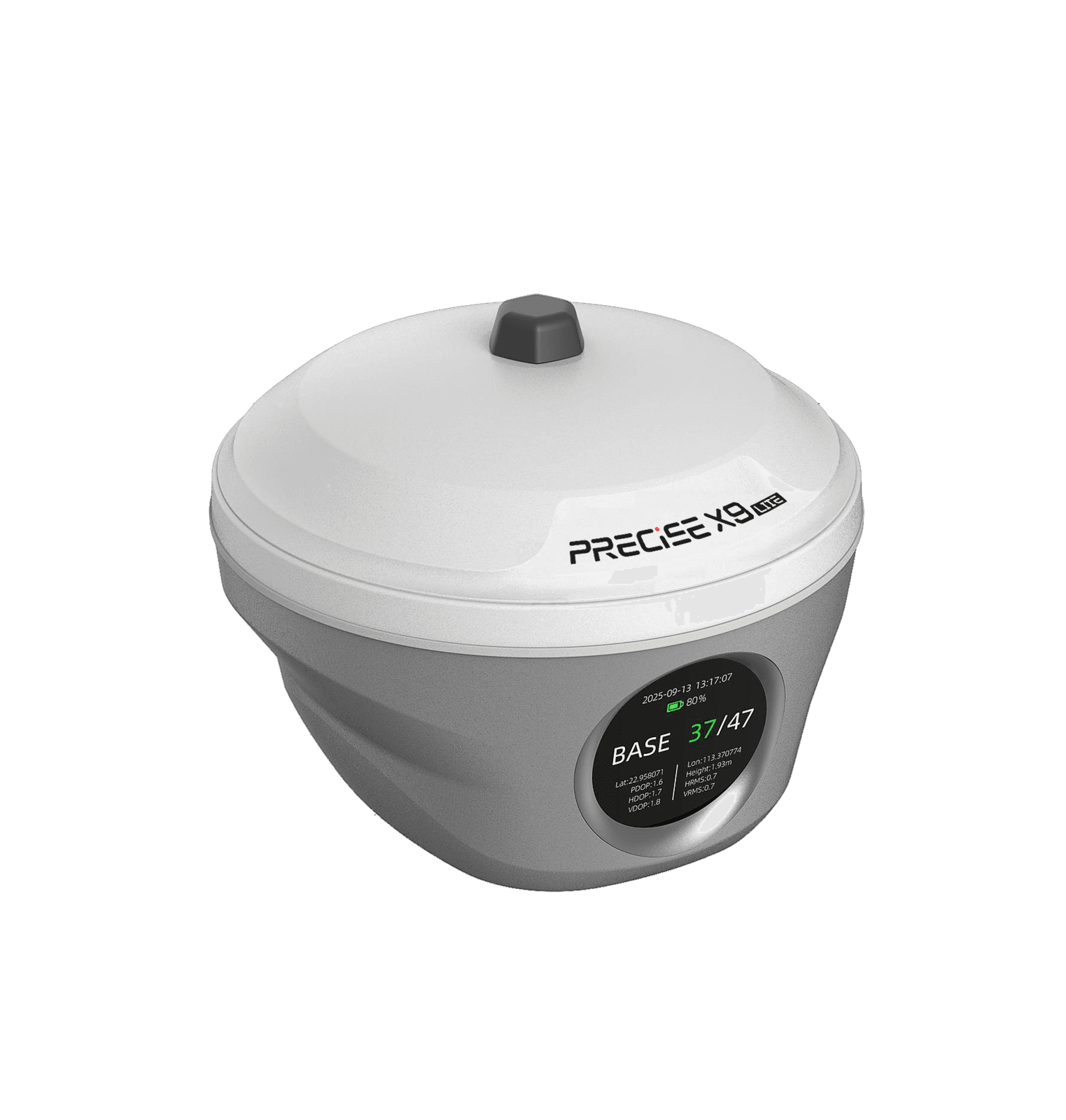
Assign equipment by the job, not by permanent role — more flexibility out of the same receiver count.
Base+Rover
One Receiver, Both Roles
8–12km
Typical UHF Range
Deploy as a rover for everyday survey work, or configure as a base when the project needs its own correction source.
Built-in 1.39-inch display
On-Receiver Control
Routine setup and role changes no longer require pulling out and reconnecting a controller every time.
0.00"
Built-In Display
The built-in display handles mode switching, UHF settings, datalink configuration, and status checks directly on the unit.
Up to 120° tilt, calibration-free
Tilt Survey — No Re-Leveling at Every Point
Around walls, corners, slopes, and obstacles — PRECISE reports up to 30% higher point collection efficiency from skipping re-leveling. Gains vary with site conditions.
≤0cm
Accuracy Within 60° Tilt
0°
Maximum Tilt Range
Compensates for pole tilt when it can't stay vertical. Calibration-free, ≤ 2 cm accuracy within 60° tilt, 200 Hz IMU update rate.
99.9% average fix rate
MATRIX Positioning — Fast, Consistent Fixes
Less time waiting for a fix, more consistent positioning throughout everyday survey and stakeout work.
0.0%
Average Fix Rate
0.00%
Initialization Reliability
PRECISE MATRIX combines multi-frequency GNSS with scene-aware satellite selection and GNSS+IMU fusion for a 99.9% average fix rate.

Applications
Where It's Used
Resources
Downloads & References
Technical Highlights
Engineered Detail
PRECISE MATRIX positioning — multi-frequency GNSS with scene-aware satellite selection and GNSS+IMU fusion, delivering a 99.9% average fix rate.
Bottom-camera visual stakeout — 5 MP camera for real-scene guidance on the final approach.
On-receiver display — base/rover switching, UHF settings, datalink configuration, and status checks without a field controller.
Compatible with X Field Pro field software.
Built for full field days — IP68, 1.8 m pole-drop resistance, −45°C to +75°C operating range, up to 20 hours of rover/CORS runtime.
Technical Specifications
Full Spec Sheet
GNSS
Positioning Accuracy
AR Stakeout
Communication
Display & Interaction
Physical & Power
How It Works
From Setup to Result
Set the Role
Deploy X9 Lite as a rover for everyday RTK survey and stakeout, or configure it as a base directly on the unit's display when the project needs its own correction source.
Get a Fix
Powered by PRECISE MATRIX, X9 Lite resolves a fixed solution using multi-frequency GNSS and GNSS+IMU fusion.
Collect Points
Tilt compensation means the pole doesn't need to be carefully re-leveled before every measurement, even on uneven ground.
Approach the Stakeout Target
As the surveyor nears a stakeout point, the bottom camera's real-scene view guides the final approach, replacing repeated reads of direction and distance values.
Handle Routine Setup on the Unit
Mode switching, UHF settings, datalink configuration, and status checks can be done directly on the receiver's display without reconnecting a controller.
FAQ
Common Questions
No. The camera helps you see and walk to the point directly. The actual coordinates still come from X9 Lite's RTK positioning.
Either. Deploy it as a rover for everyday survey and stakeout, or configure it as a base when the project needs its own correction source.
Routine operations: base/rover switching, UHF settings, datalink configuration, and status checks. More complex data collection still uses field software like X Field Pro on a controller.
No. Tilt survey compensates for pole tilt, so you can keep collecting points on uneven ground, corners, and obstacles without stopping to re-level.
99.9% is PRECISE MATRIX's average fix rate under normal field conditions. The efficiency figures come from PRECISE testing against traditional methods; actual gains vary with site conditions and operator experience.
X9 Lite covers everyday survey and stakeout — visual guidance, base/rover flexibility, on-receiver control. X9 adds a 120 m laser, image measurement, and a second camera for points a normal pole can't reach directly. If your work stays within normal pole range, X9 Lite covers it; if you regularly need to reach far or hard-to-access points, X9 is the better fit.
Get in Touch
Talk to PRECISE About X9 Lite
Tell us about your project and we'll route it to the right PRECISE team.
- Sales: sales@precise-geo.com
- Support: support@precise-geo.com
Stake Out Smarter. Get Your PRECISE X9 Lite Today.
Unlock precision and efficiency with PRECISE. Order now, or contact our sales team to discuss your survey fleet.