
GNSS Receivers & Accessories
Can't Put the Pole on the Point? X9 Still Measures It.
Long-range laser, image-based measurement, and dual-camera AR guidance — in one RTK receiver, so hard-to-reach points don't mean stopping the survey.
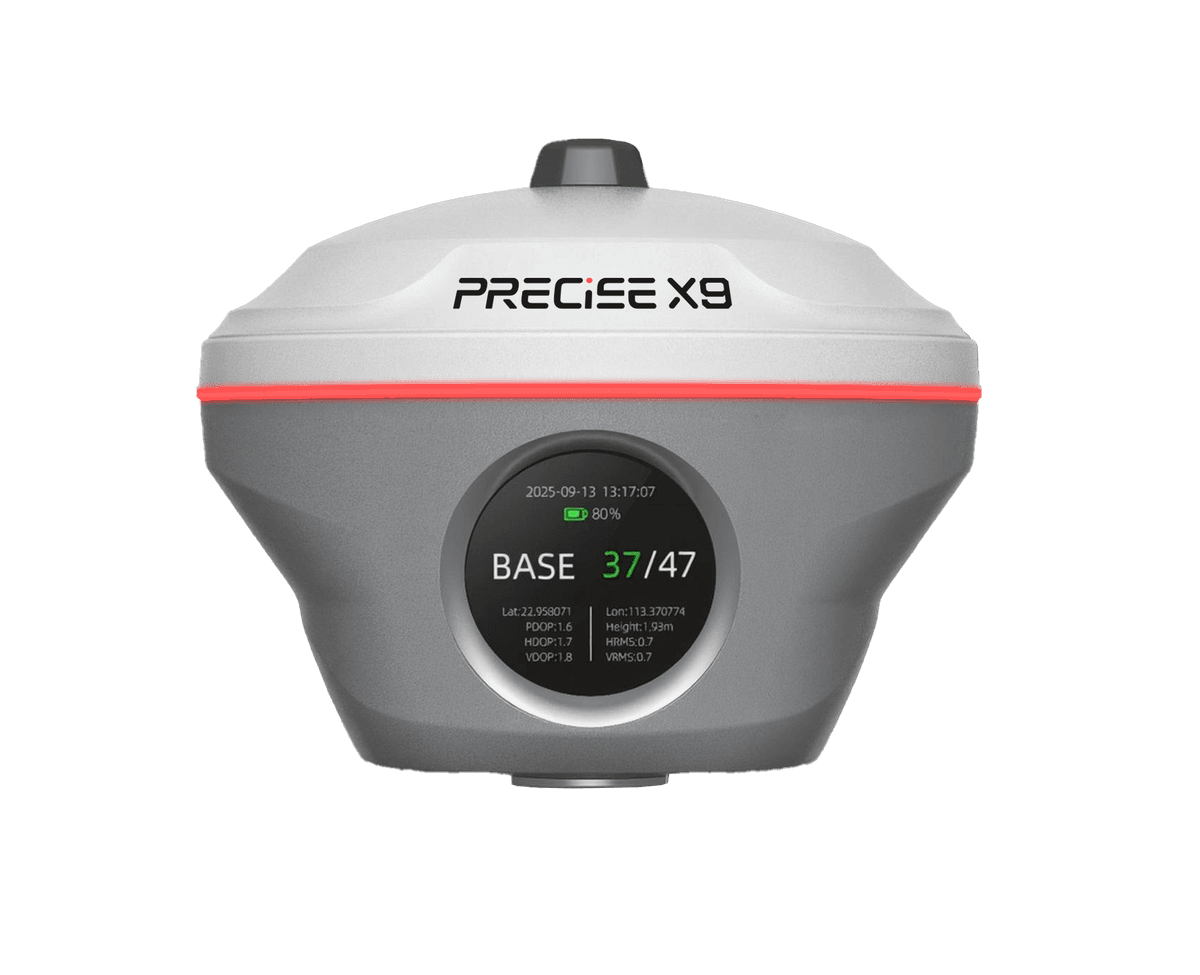
PRECISE's flagship RTK receiver, built for surveyors who regularly meet points a conventional pole can't reach directly — long-range laser measurement up to 120 m, image-based coordinate measurement within 15 m, dual-camera AR stakeout, and tilt survey, all backed by PRECISE MATRIX positioning.
Challenge
Some points can't be reached by walking a pole to them — elevated features, obstacles, unstable ground. And everyday stakeout still means the same cycle: read the numbers, walk, check again.
Solution
X9 gives you more ways to close the distance: a 120 m laser, image measurement within 15 m, and dual-camera AR stakeout that switches from wide guidance to close-range targeting as you approach. Tilt survey means no re-leveling at every point — all backed by PRECISE MATRIX positioning.
Value
Fewer points get skipped, fewer minutes get lost re-leveling or walking back and forth. One receiver, not a workaround for every point a normal setup can't handle.
Key Benefits
Why X9
Long-range laser, no pole contact needed
120 m Long-Range Laser Measurement
Measure elevated features, obstacles, and other hard-to-reach spots from a safe standing position — no more skipping the point or improvising a workaround.
0m
Laser Measuring Range
Class 0
Laser Safety (IEC 60825-1)
Class 1 (IEC 60825-1) green laser, up to 120 m, ± (5 mm + 100 ppm × D) accuracy, with camera-assisted targeting.
Coordinate measurement from captured imagery
Image Measurement Within 15 m
A middle option between placing the pole and using the long-range laser — another way to collect coordinates when the target is closer but still awkward to reach.
2–3cm
Accuracy Within 15 m
0m
Image Measurement Range
Captures coordinates directly from a photo, 2–3 cm accuracy within 15 m. Image groups can be reused for later measurement.
Side + bottom cameras, auto-switching
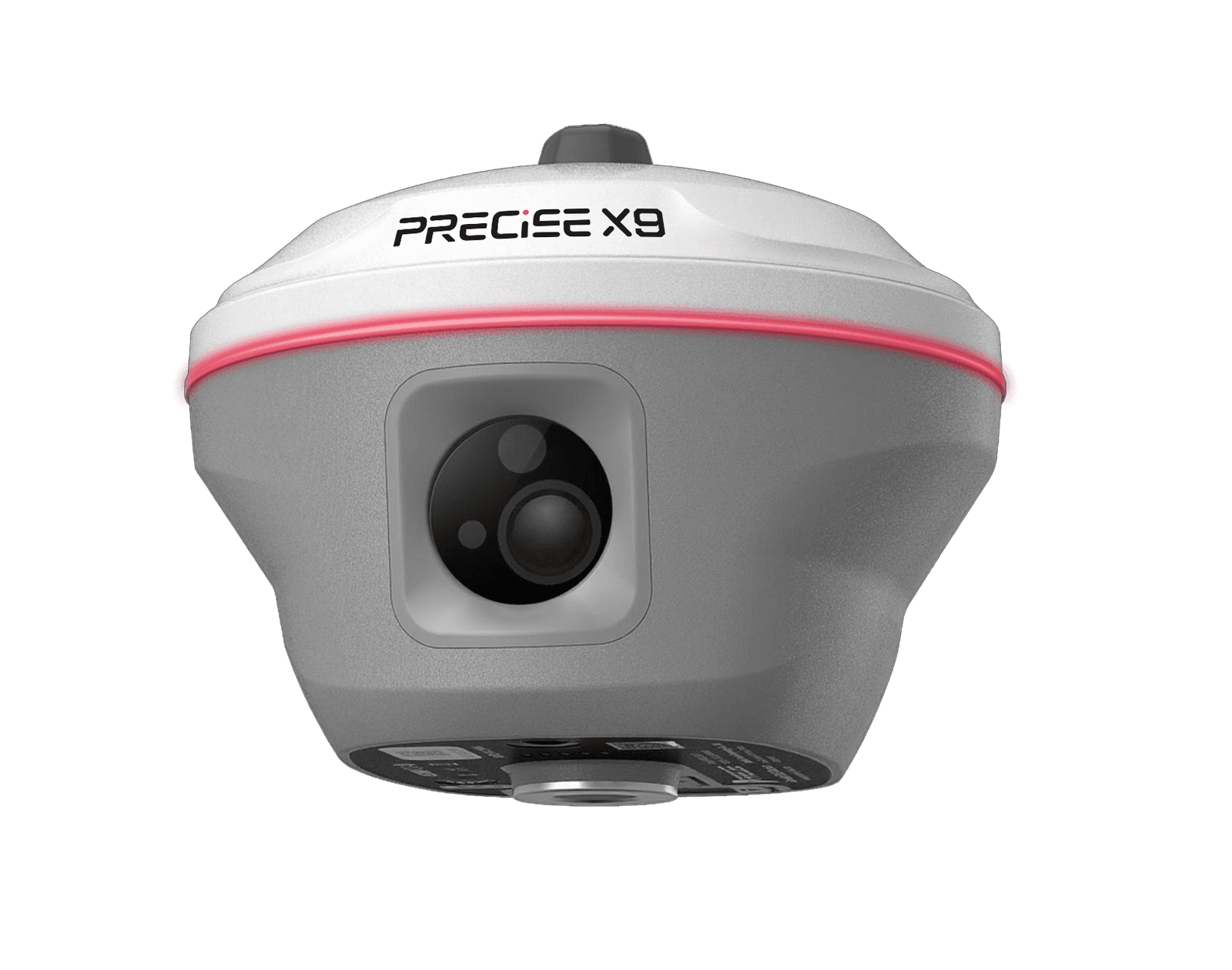
Dual-Camera AR Stakeout
Less back-and-forth between reading numbers and finding the point — get there with fewer course corrections.
0MP
Side Camera (Long-Range Guidance)
0MP
Bottom Camera (Close-Range Targeting)
Side camera for direction from a distance, bottom camera for close-range targeting, switching automatically as you approach.
Up to 120° tilt, calibration-free
Tilt Survey — No Re-Leveling at Every Point
Around walls, obstacles, and uneven ground — fewer stops, a more natural pace of work.
≤0cm
Accuracy Within 60° Tilt
0°
Maximum Tilt Range
Compensates for pole tilt in real time. Calibration-free, automatic initialization, ≤ 2 cm accuracy within 60° tilt.
99.9% average fix rate
MATRIX Positioning — Fast, Consistent Fixes
Less time waiting on a fix, more consistent positioning as conditions shift between open sky and partial obstruction.
0.0%
Average Fix Rate
<0s
Initialization Time
PRECISE MATRIX combines multi-frequency GNSS with scene-aware satellite selection and GNSS+IMU fusion for a 99.9% average fix rate.

Applications
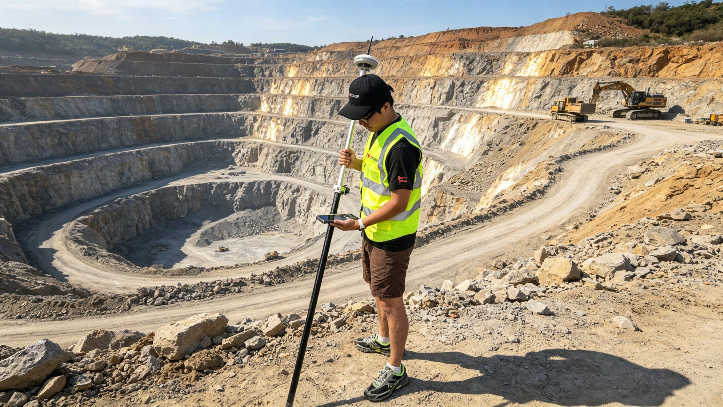
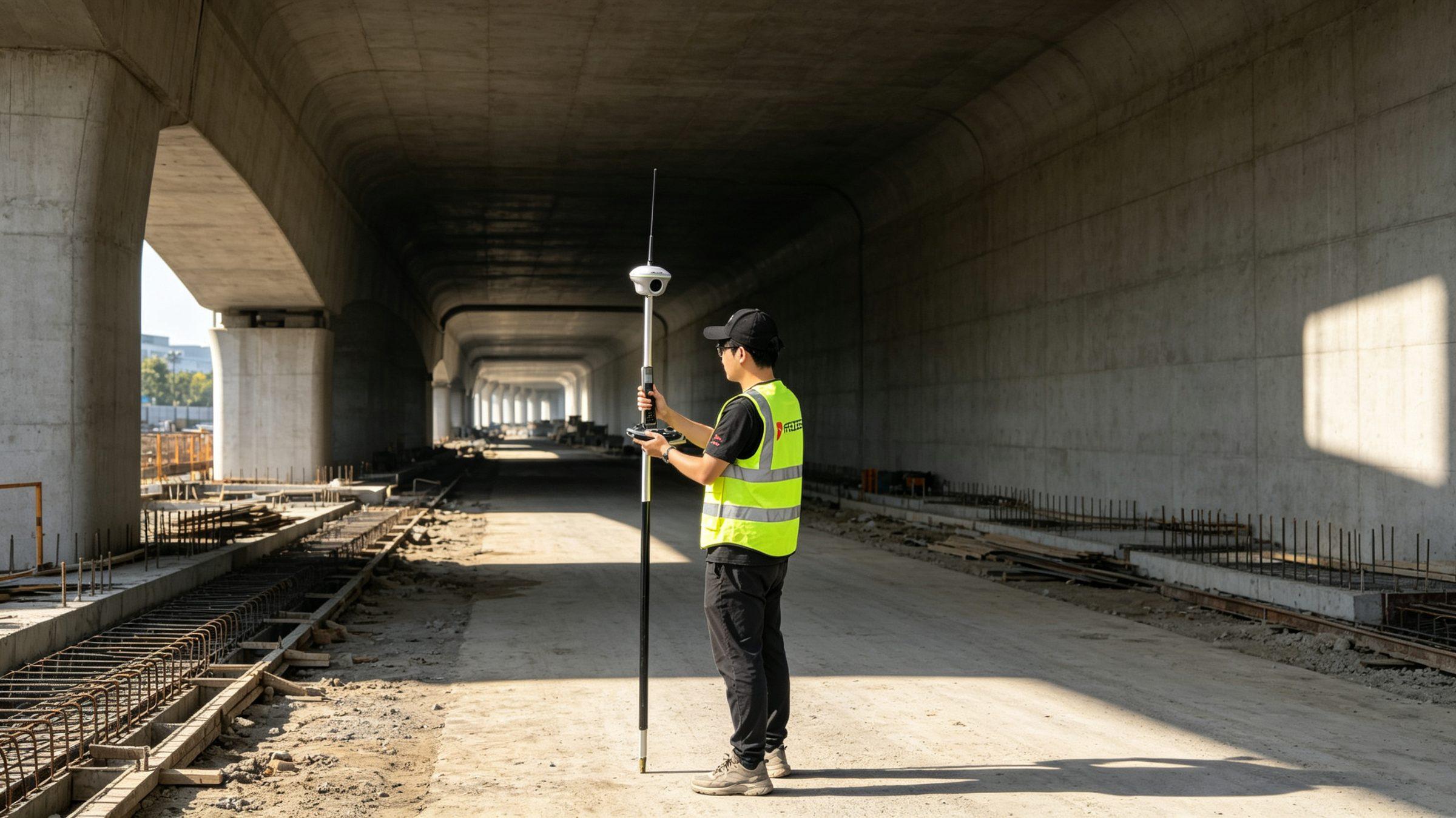
Where It's Used
Resources
Downloads & References
Technical Highlights
Engineered Detail
PRECISE MATRIX positioning — multi-frequency GNSS with scene-aware satellite selection and GNSS+IMU fusion, delivering a 99.9% average fix rate.
120 m long-range laser + 15 m image measurement — two more ways to collect coordinates beyond conventional pole placement.
Dual-camera AR stakeout — side camera for distance, bottom camera for close-range targeting, switching automatically.
Built for full field days — IP68, 1.8 m pole-drop resistance, −45°C to +75°C operating range, up to 20 hours of rover runtime.
Technical Specifications
Full Spec Sheet
GNSS
Positioning Accuracy
Laser Measurement
Image Measurement & Camera
AR Stakeout
Communication
Display & Interaction
Physical & Power
How It Works
From Setup to Result
Get a Fix
X9 establishes an RTK connection and, powered by PRECISE MATRIX, resolves a fixed solution using multi-frequency GNSS and GNSS+IMU fusion.
Choose How to Reach the Point
For a point within normal pole range, walk to it directly — tilt compensation means no stopping to re-level. For a point too far, elevated, or otherwise hard to access, use the laser or image measurement instead.
Measure at Range with the Laser
Aim the laser at the target — up to 120 m away — and X9 calculates its coordinates without the pole touching the point.
Or Capture the Point from Imagery
Within 15 m, capture an image of the target and X9 derives its coordinates directly from the image, accurate to 2–3 cm.
Stake Out with Dual-Camera AR Guidance
From a distance, the side camera shows the direction and general area of the stakeout point; as the surveyor closes in, the bottom camera guides the final approach — the two cameras switch automatically based on distance.
Log the Point and Continue
Whichever method reached the point, the surveyor logs it and moves to the next without switching tools or interrupting the workflow.
FAQ
Common Questions
No. It's a visual guidance aid that helps you find the point faster. The actual coordinates come from X9's RTK positioning, not the camera image.
X9 aims a laser at the target from up to 120 m away and calculates its coordinates — useful for elevated features, obstacles, and other spots where standing on the point isn't practical or safe.
Laser is for distance — up to 120 m. Image measurement is for closer targets (within 15 m) where pole access is still inconvenient, accurate to 2–3 cm. Pick based on how far the point is.
No. Tilt survey compensates for pole tilt, so you can keep collecting points without stopping to re-level around walls, obstacles, and uneven ground.
It's PRECISE MATRIX's average fix rate under normal field conditions. Actual results can still vary with multipath, obstructions, satellite geometry, and atmospheric conditions.
X9 is for surveyors who regularly hit points a conventional pole-based rover can't reach — elevated features, obstacles, hazardous ground, or targets too far to walk to. If your work stays within normal pole range, a standard receiver may be enough.
Get in Touch
Talk to PRECISE About X9
Tell us about your project and we'll route it to the right PRECISE team.
- Sales: sales@precise-geo.com
- Support: support@precise-geo.com
Reach Every Point. Get Your PRECISE X9 Today.
Unlock precision and efficiency with PRECISE. Order now, or contact our sales team to discuss your survey fleet.