Product Category
See Exactly Where the Bucket Is. Dig to Grade on Your Own.
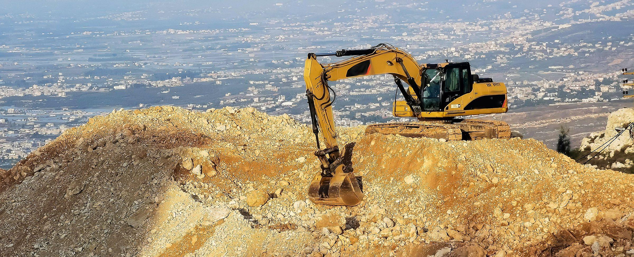
PRECISE Machine Guidance shows excavator operators, in real time, where the bucket is relative to the design target, so a single operator can cut to grade without a survey crew standing in the trench.
Product Lineup
Machine Guidance Products
FAQ
Common Questions
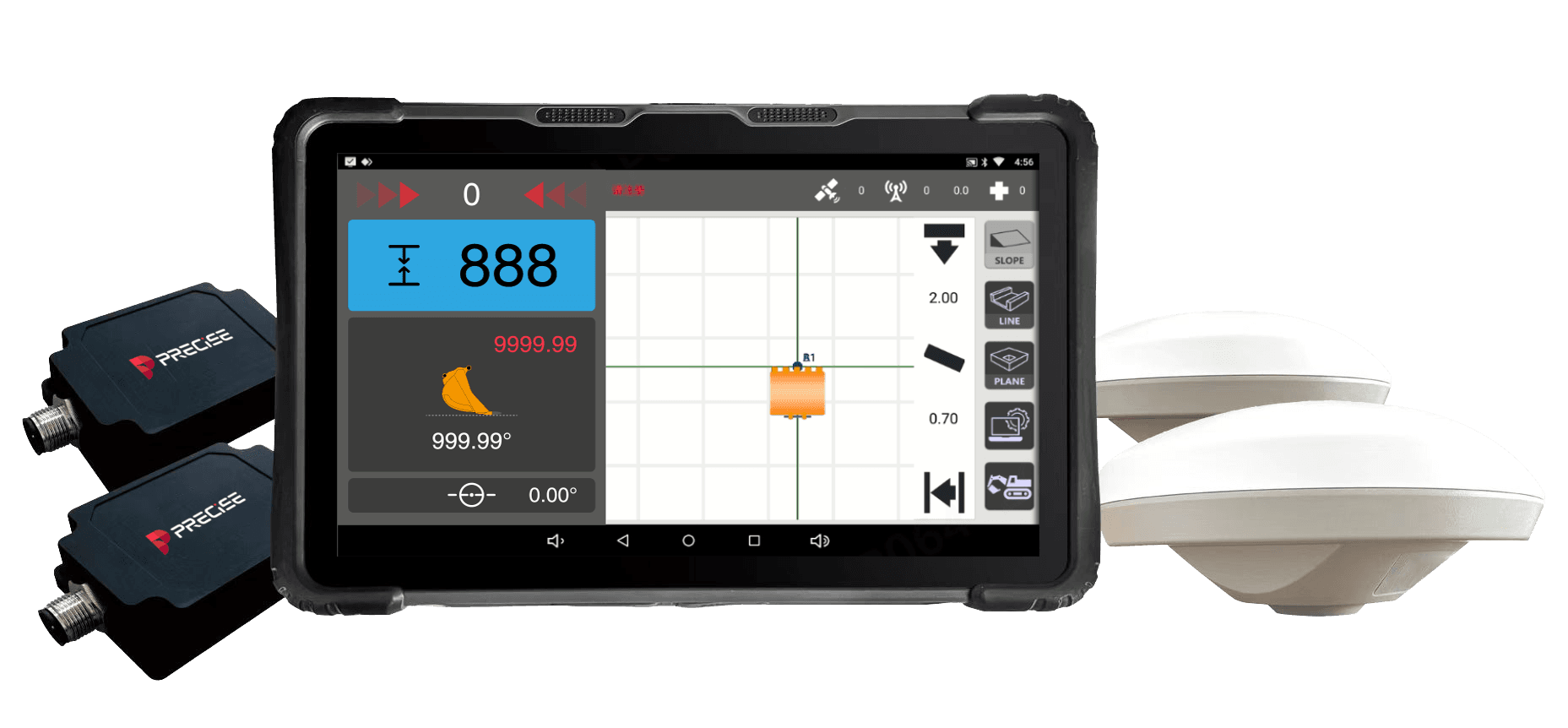
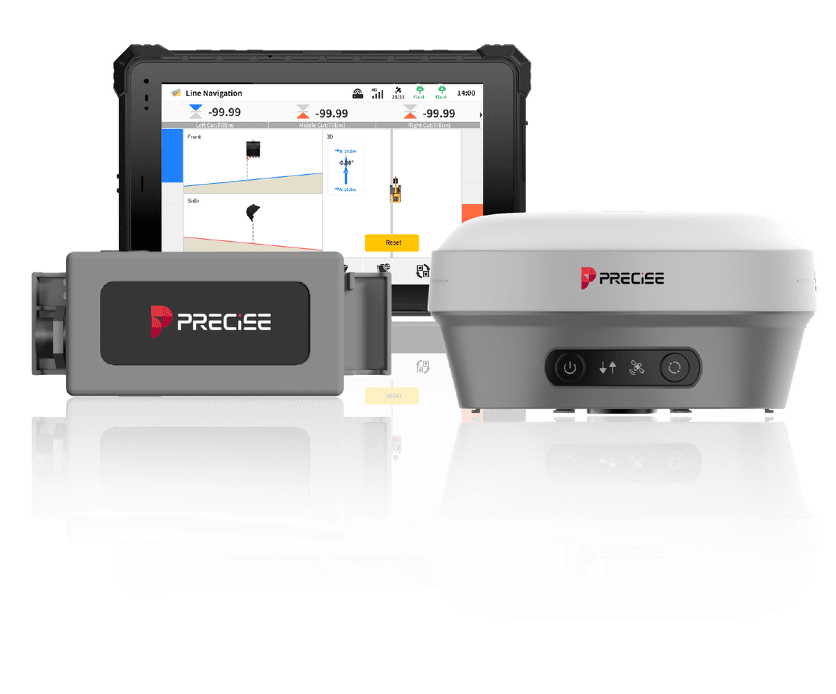
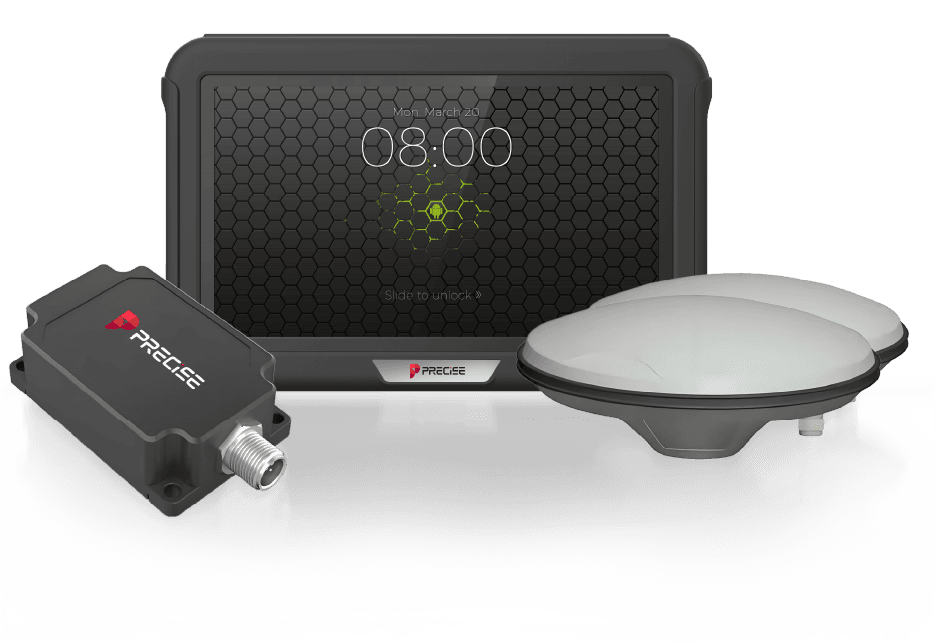
All three systems, E2, E3D, and E4D, are guidance systems, not automatic control systems. None of them move the bucket or control the hydraulics. Each continuously shows the operator the real-time gap between the bucket's (or attachment's) position and the design target, and the operator makes every cut manually based on that information.
E2 is the base guidance layer for straightforward depth, slope, and trench work. E3D adds AR camera overlay and direct CAD/GIS design-file import, plus dual use as an RTK rover, so it fits jobs that start from an engineering drawing. E4D adds fast switching between attachments (buckets, breakers, drum cutters) and cloud-based data recording across multiple sites, so it fits fleets and contractors running mixed work across several active projects. Accuracy is comparable across all three; the difference is workflow, not raw precision.
Accuracy is comparable across the lineup: E2 delivers ±1.5 cm horizontal / ±3 cm elevation accuracy, and E3D and E4D are each rated at approximately 3 cm. Actual results depend on correct reference-point setup, satellite visibility, and site conditions. See each product's specification page, or the full comparison table, for exact figures.
Compatibility varies by model. E2 is verified to mount on most mainstream excavators, including CAT, Komatsu, and Hyundai, in both large and compact size classes. See each product's specification page for exact compatibility before ordering.
Connectivity varies by model. All three support RTK corrections over cellular network, a local base station, or both, without extra external modules. See each product's specification page for exact radio bands and network support.
Yes. All three use ruggedized, IP-rated hardware built for outdoor jobsite conditions. Exact ingress-protection and operating-temperature ratings vary by component, see each product's specification page for details.
No. PRECISE Machine Guidance systems sense and display position information. None of them replace the operator's hands on the controls. If your project needs fully automated grading, that is a different category of system than what E2, E3D, or E4D provide.
Find the Right Machine Guidance System for Your Fleet
Talk to our sales team about which system, E2, E3D, or E4D, fits your sites and attachments.