
Solution
Dig to Grade. Without Waiting for Someone Else to Check.
PRECISE Construction solutions put live, centimeter-level grade guidance in the excavator cab, so an operator can lay out, dig, and verify a site with fewer stoppages and less dependency on a survey crew's schedule.
Recommended Products
What to Use
Typical Tasks
What This Covers
Site Layout & Staking
Establishing reference points and control lines before earthwork begins.
Trenching
Tracking trench depth and alignment continuously instead of through repeated stake checks.
Bulk & Foundation Excavation
Digging basements and footings to design depth in staged, layered cuts.
Slope Trimming
Holding a consistent slope angle across long runs of cut or fill.
Channel Clearing & Fine Grading
Finishing to design elevation without over-cutting and re-filling.
As-Built / Completion Verification
Confirming the finished cut or slope matches design before backfill or pour.
Field Challenges
What Gets in the Way
No View of the Target
On most excavation sites, the operator can only see the ground in front of the bucket, not the design target, and that gap creates the same problems on every job.
Stop-and-Check Cycles
To know if a cut is deep enough or a slope is at grade, crews traditionally stop the machine, call in a surveyor or stake crew, measure, adjust, and repeat until it's right.
Built-In Idle Time
Every check means the excavator sits still, waiting on someone else's schedule and availability.
Estimating, Not Measuring
Without a live reference, the operator is estimating rather than measuring, so over-digging and under-digging happen whenever no one is available to check.
Inconsistent Results
Without a shared, repeatable reference point, different operators running the same machine produce different results on the same task.
Three Separate Schedules
Coordinating a survey crew for staking, a machine crew for digging, and a return visit for verification turns layout, excavation, and verification into three separately scheduled events.
Workflow
How the Job Gets Done
Lay Out the Site
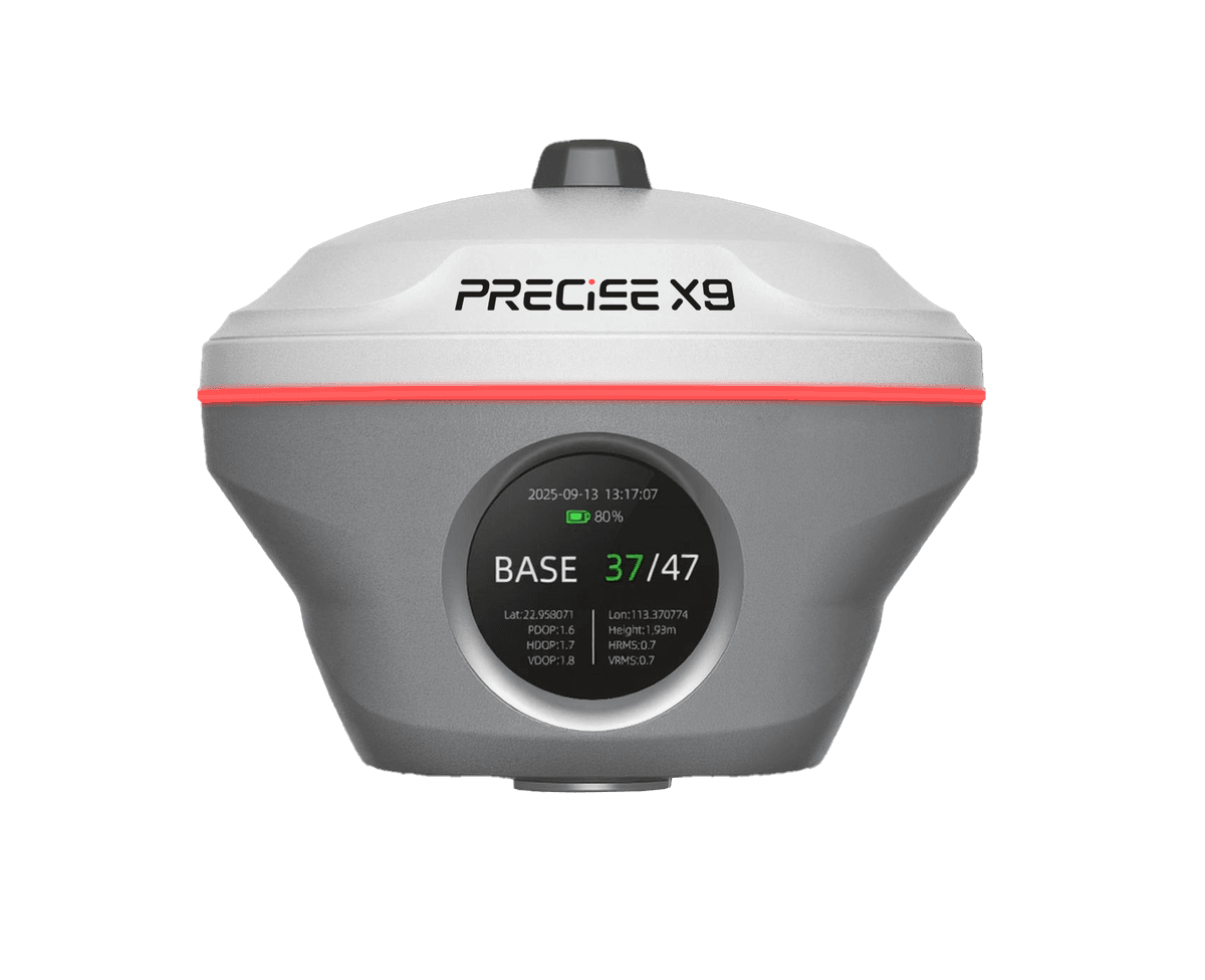
Before excavation starts, establish site control points and stake out the key reference lines. A PRECISE RTK receiver such as X9 handles this stage, including points a standard survey pole can't reach directly, where laser or image measurement is faster than repositioning the pole.
Set the Reference on the Machine
The excavator operator establishes an RTK reference point directly on the guidance system, a self-contained setup that doesn't depend on X9 or T3, and enters the target depth, slope, or design line for the current task. This example walks through E2; E3D sets up from an imported design file instead, and E4D adds an attachment-selection step for mixed-tool fleets.
Dig With Live Guidance
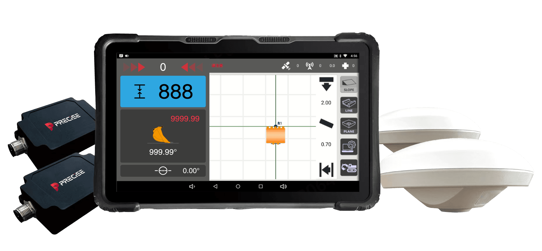
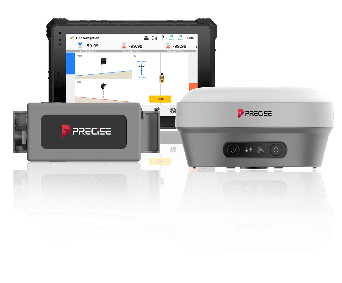
The guidance system continuously calculates the real-time 3D position of the bucket (or attachment) edge and displays the live gap to the design target. E2 shows this from multiple on-screen views (side profile and cross-section) on a 10.1" sunlight-readable touchscreen; E3D overlays it directly on an AR camera view.
Adjust and Finish
The operator reads the on-screen or AR-overlay deviation and corrects the next pass accordingly, without stopping the machine to call for an external check. The guidance system informs the decision; the operator's hands on the joysticks still make every cut.
Verify the Result
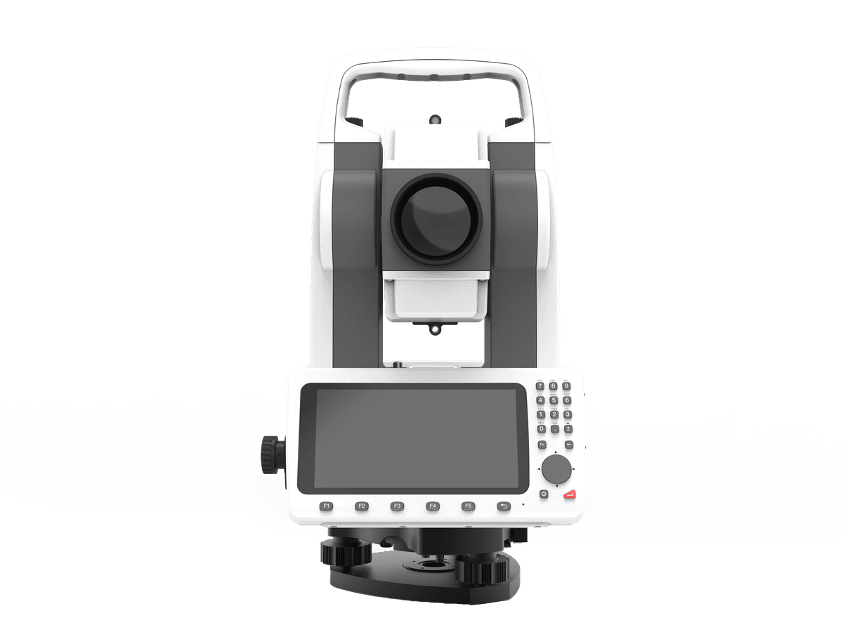
Once excavation is complete, confirm the finished grade or slope against design. A PRECISE total station such as T3 supports formal as-built verification where the project calls for a documented survey record.
Selection Guidance
If Your Project Is...
Live Grade Guidance
Real-time bucket position and grade guidance for straightforward depth, slope, or trench work.
E2
Design-File-Driven Sites
The job starts from a CAD/GIS design file and needs AR visual guidance, or the crew wants the same hardware to double as an RTK rover.
E3D
Alternative to E2 for design-file workflows
Mixed-Attachment or Multi-Site Fleets
Switching between buckets, breakers, and drum cutters on the same machine, or managing several active sites with cloud-based progress data.
E4D
Alternative to E2 for fleets and mixed attachment work
Site Control & Staking
Establish site control points or stake reference lines before excavation, including points a standard survey pole can't reach directly.
X9
For layout, alongside E2
As-Built Verification
A documented as-built survey record after excavation is complete.
T3
For verification, alongside E2
Digging Stage Only
Only the digging stage, with layout and verification handled by an existing survey workflow or third-party crew.
E2 Alone
Sets its own RTK reference point independently — doesn't require X9 or T3
Full Machine Automation
A machine-control experience beyond guidance: fully automated grading with no operator input.
Not Offered
E2 is a guidance system; this solution doesn't include automated hydraulic control
Customers
What Our Customers Are Saying
Luis
Mexico
“We no longer need a survey crew on-site. Just me and the machine — that's it.”
Michael Tran
Vietnam
“With PRECISE T3, I can finish daily layout tasks 30% faster, even when working solo. The one-click measurement is a real game changer.”
Andi
Indonesia
“Once we set the reference point, everything else just flowed. Accurate and repeatable.”
Luis Fernández
Spain
“I was surprised how smooth the Android system is. I installed our own apps, synced data over 4G, and didn't need a PC at all.”
FAQ
Common Questions
E2 covers straightforward depth, slope, and trench work. E3D fits jobs that start from a CAD/GIS design file and benefit from AR visual guidance, or crews that want the same hardware to double as an RTK rover. E4D fits contractors switching between buckets, breakers, and drum cutters, or managing several active sites with cloud-based progress data. Accuracy is comparable across all three; the difference is workflow, not raw precision.
E2, E3D, and E4D are all guidance systems, not automatic control systems. None of them move the bucket or control the hydraulics. Each continuously shows the operator the real-time gap between the bucket's (or attachment's) position and the design target, and the operator makes every cut manually based on that information.
E2 delivers ±1.5 cm horizontal and ±3 cm elevation accuracy under normal RTK operating conditions, with bucket dynamic attitude accuracy of 0.2°. Actual results depend on correct reference-point setup, satellite visibility, and site conditions.
Not for routine depth and slope checks during digging: the operator reads the live deviation on screen instead of waiting for someone to measure. A surveyor or RTK receiver such as X9 is still useful for establishing the initial site control points and staking key reference lines before excavation begins, and for formal as-built verification afterward.
E2 is designed to mount on most mainstream excavators, including CAT, Komatsu, and Hyundai models, in both large and compact size classes.
E2 has built-in dual-SIM 4G and an adjustable-power UHF radio (0.5 W / 1 W / 2 W, 410–470 MHz), so it can receive RTK corrections via cellular network or a local base station without extra external modules.
Yes. E2's hardware is IP67-rated and rated for operation from -30°C to +75°C, suitable for tunnels, wet sites, freezing mornings, and hot afternoons.
E2 establishes its own RTK reference point at the start of a job. Teams that already use a PRECISE RTK receiver like X9 for site control, or a total station like T3 for verification, can carry the same site benchmarks into E2's setup, keeping layout, excavation, and verification tied to one consistent reference.
Get in Touch
Talk to PRECISE About Construction
Tell us about your project and we'll route it to the right PRECISE team.
- Sales: sales@precise-geo.com
- Support: support@precise-geo.com
Get a Machine Digging to Grade: Talk to PRECISE About Construction.
Contact our sales team to confirm which guidance system, E2, E3D, or E4D, fits your excavator fleet, and whether X9 or T3 make sense for your site's layout and verification needs.