Algorithmic Magic to Enhance ‘Precision, Reliability, and Ease’, for an Exceptional User Experience.
Super-high Fix Rate
99.9%
Our product achieves exceptional positioning accuracy.
On average, only 1 out of every 1,000 positioning attempts,
This precision ensures unparalleled reliability for critical applications.
*Fix rate and accuracy can be affected by external conditions such as multipath, obstacles, satellite geometry, and atmospheric conditions.
Magical Module
AI Data Correction Algorithm Module
Utilizing an XGBoost model, this module employs AI tools to comprehensively train and fine-tune large-scale pre-data sets, generating data correction functions. This process effectively enhances real-time fix verification success rates by at least 18%.
Magical Module
Partial Ambiguity Resolution Algorithm Module
Implementing the lambda algorithm for fix solutions, this module performs up to ten intelligent satellite exclusion operations based on actual signal conditions, further improving fix rates.
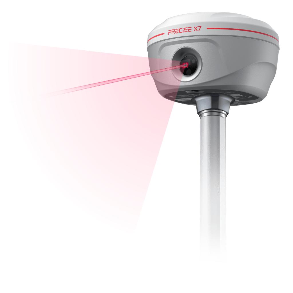
LASER & IMAGE GNSS RECEIVER
PRECISE X7
All You Need for Surveying, All in One.

Enhanced by the MATRIX ALGORITHM
- Laser Survey
Laser-Precise Survey, Wherever You Aim!
70m , Laser Survey Distance
<2.5cm, Accuracy within 30 metres - AR Stakeout
Bring your blueprint to life with X7 AR Layout!
2cm, AR alignment accuracy - Tilt Survey
Easy tilt sensing and accurate every time!
<2cm, Accuracy within 60°
±60°, IMU tilt angle
RTK RECEIVER
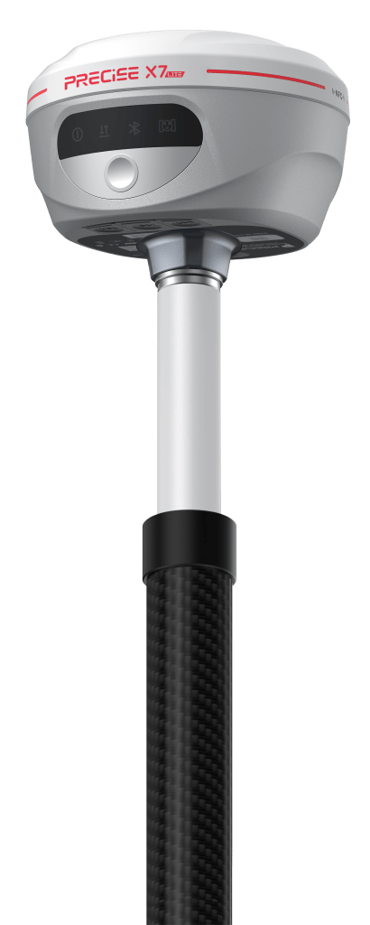
PRECISE X7 Lite
Reliable Tilt Survey, Unbeatable Value.

Enhanced by the MATRIX ALGORITHM
- Tilt Survey
Easy tilt sensing and accurate every time!
<2cm, Accuracy within 60°
±60°, IMU tilt angle
RTK RECEIVER
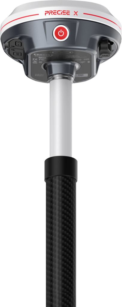
PRECISE X
Survey grade receiver with an Exceptional User Experience.

Enhanced by the MATRIX ALGORITHM
- EASY-Fix, High-spec hardware ensures hassle-free positioning and settlement, 30% faster speed and 20% higher rate to get fixed under the same canopy.
- EASY-Surveying, IMU overcoming conventional terrain constraints while enhancing surveying flexibility and precision.
- EASY-Stakeout, Real-time, precise AR visual marking enhances accuracy and simplifies staking.
- EASY-Connecting, Versatile communication protocols enhance streamlined surveying and field operations.
- EASY-Power, Extended Endurance for Uninterrupted Field Performance.
- Easy-Durability, Waterproof and Heat-Resistant Design for Extended Product Lifespan.
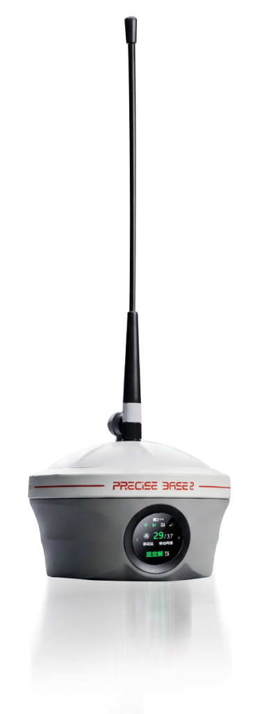
Ultra-portable Long-range GNSS Base Station
PRECISE BASE2
Long range. Light weight. Zero compromise.

Enhanced by the MATRIX ALGORITHM
- SPEED, Faster Field Readiness
Integrated Design
Lightweight Mobility
Rapid Deployment - RANGE, Confident Long-Distance Performance
5W FarRadio UHF
Extended Coverage
Terrain Adaptability
Reliable Links - ENDURANCE, All-Day Operational Stability
12-Hour Runtime
Power Efficiency
Zero Interruptions - DURABILITY, Built for Demanding Sites
IP67 Protection
Magnesium-Alloy Body
Impact Resistance
Advanced GNSS Engine
Interference Self-Test
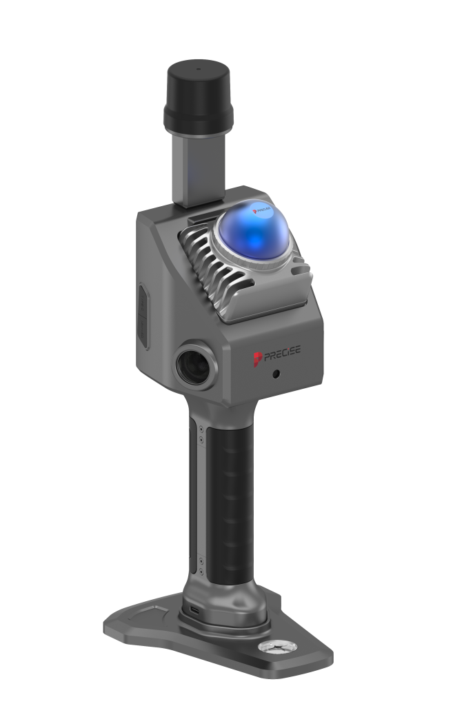
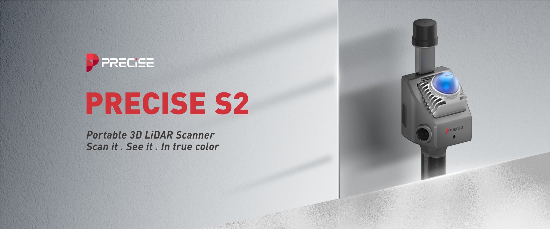
Portable 3D LiDAR Scanner
PRECISE S2
Scan it. See it. In true color.

Enhanced by the MATRIX ALGORITHM
- Scan Once. Save 80% of Your Time.
360° Super-Wide FOV
Progressive FOV Expansion
25° Tilted Mounting Angle - If You Can Walk It, You Can Scan It.
10cm Minimum Detection Range
Active Anti-Interference
Built-in High-Frequency IMU - Scan Today. Model Today.
Dual 1-Inch Image Sensors
Sharper Point Clouds Perfectly Fused
Real-Time Preview Precision Results
High-Fidelity SLAM by Design - Small, Simple, Powerful. All Day Long.
Ultra-Light.Ultra-Mobile.
As Easy as a Photo. Smarter Than Ever.
Power Through the Day. No Interruptions.
One S2. Many ScanStations Replaced.Tilt Survey
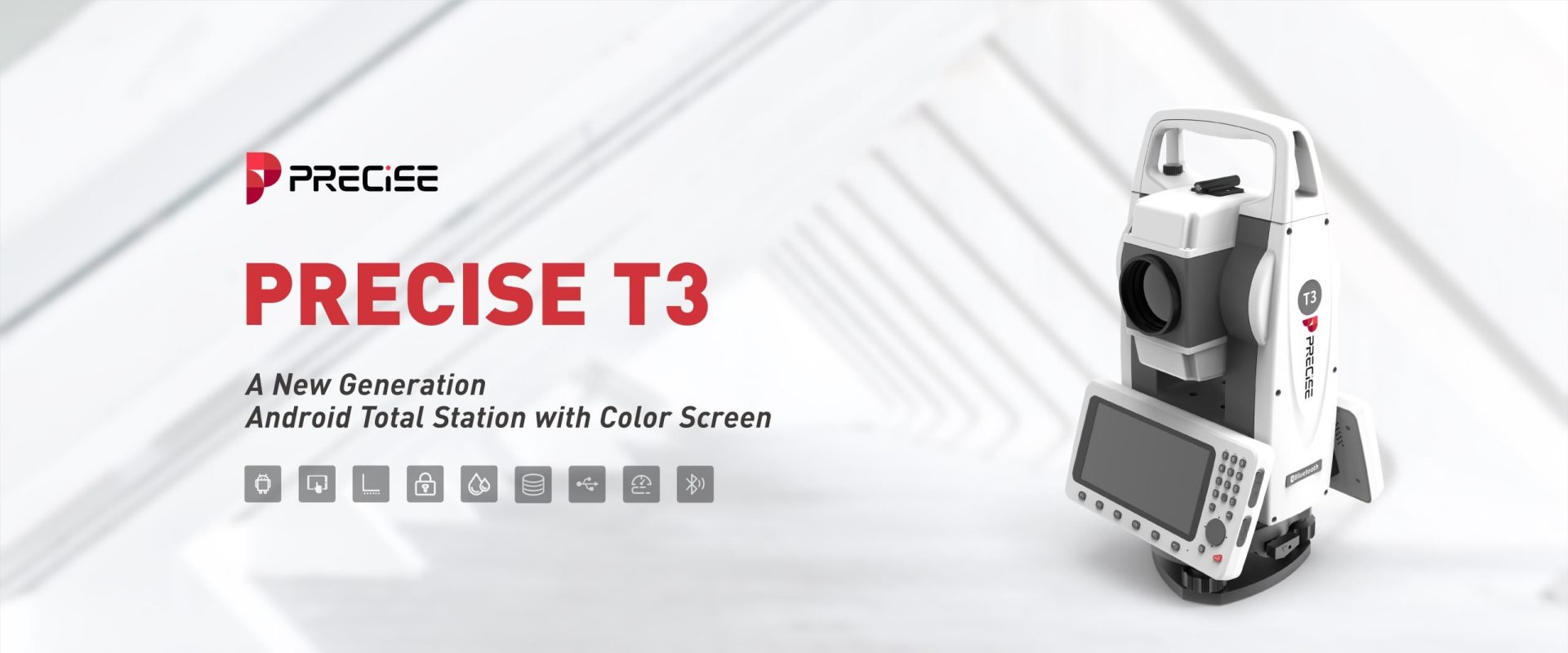
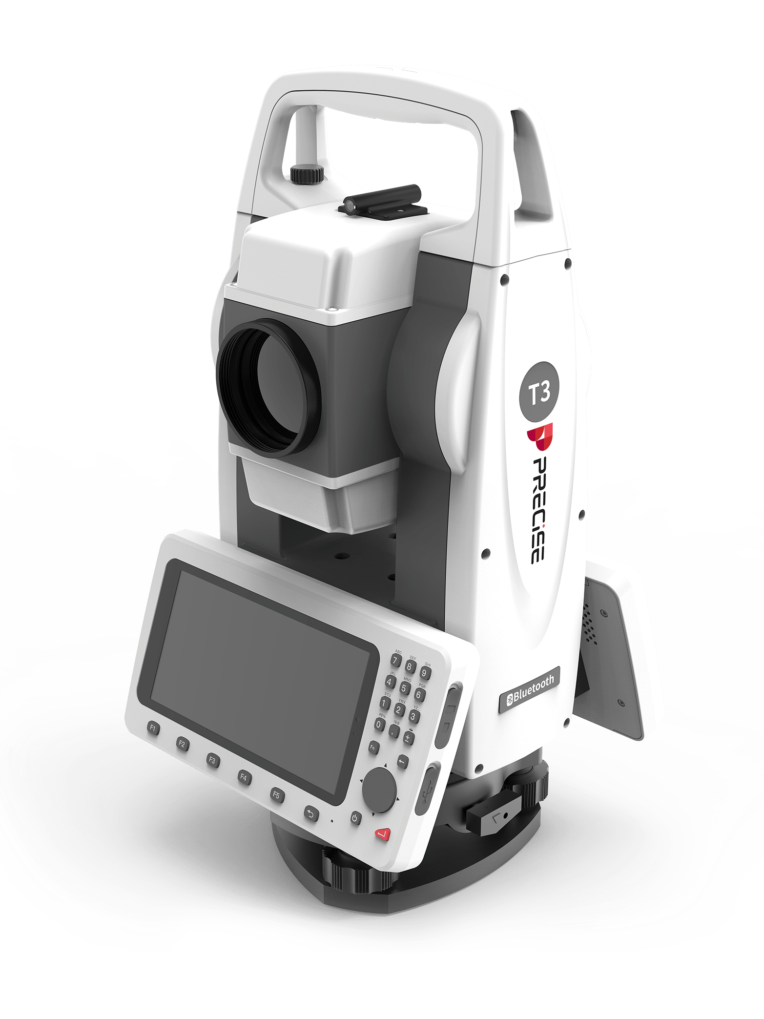
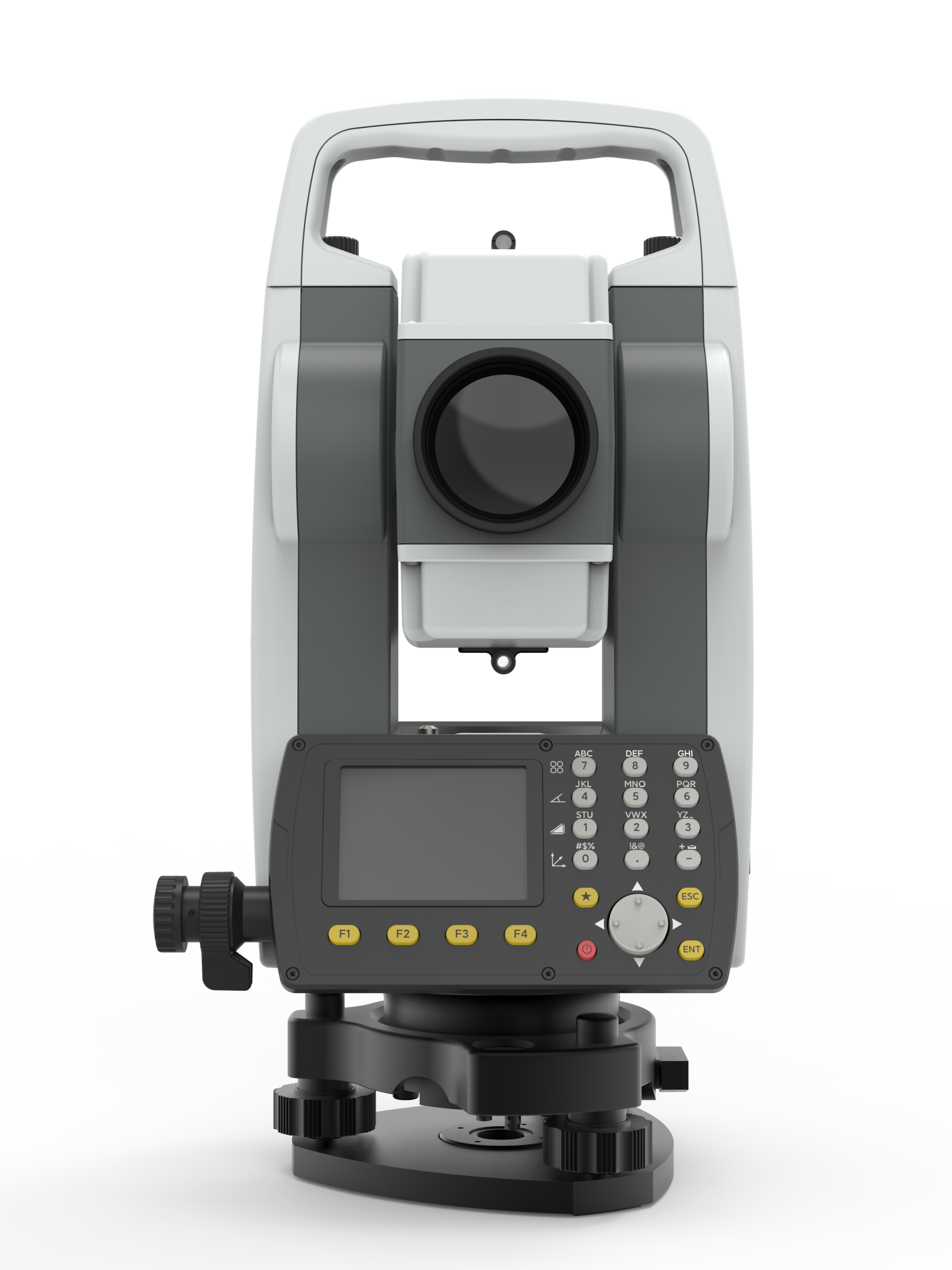
New-generation Android Total Station
PRECISE T3
Smarter Surveying.
Uncompromising Precision.

Enhanced by the MATRIX ALGORITHM
- Built for Precision
1000m Reflectorless EDM, ±3mm + 2ppm Precision
±4′ Dual-Axis Tilt Compensation
30x Wide-Angle Optics with Anti-Glare Coating - Intuitive Operation Redefined
5.5” Daylight-Readable Touchscreen
Dual Input, Keypad + Handwriting
One-Click Quick Measure - Smarter Android Core
Octa-Core CPU, 4GB RAM + 64GB Storage
Open Android System - Always Connected, Always in Control
6-Way Data Communication
Cloud Backup & OTA Firmware
Cost Effective Reliable Total Station
PRECISE T3 Lite
Reliable Results. Smarter Budget.

Enhanced by the MATRIX ALGORITHM
- Precision Distance Measurement Technology
1,000m Non-Prism Distance measurement
4,000m Single Prism Distance Measurement - Precision Angle Measurement Technology
- Coaxial Comprehensive Compensation
- Special Grade Dense Bead Shaft System
- Strong Protection
- Precision Angle Measurement Technology
- Ease-to-use Interaction
3.2-inch Color Screen
Rounded Backlight Button
Customized Fn Function Key
One-touch Laser Fixed
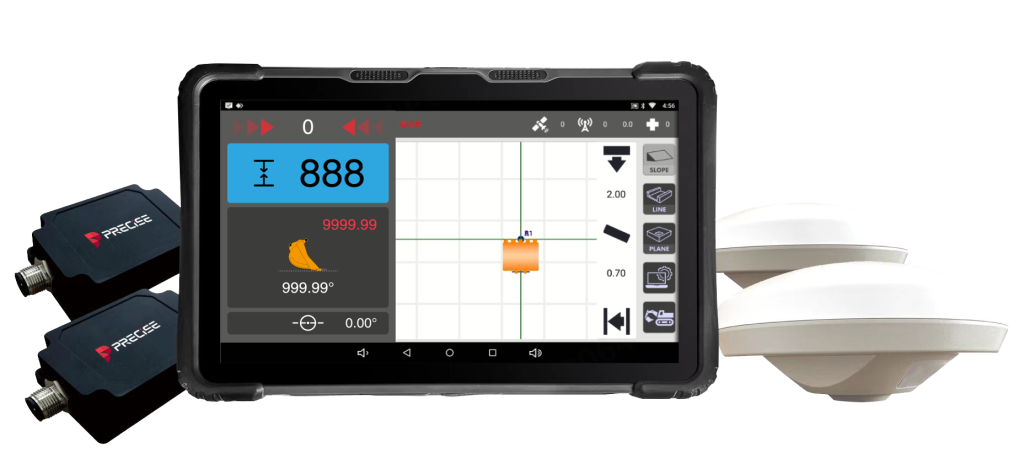
Excavator Guidance System
PRECISE E2
Dig Precisely. Work Independently. Finish with Confidence.

Enhanced by the MATRIX ALGORITHM
- Precision That Matters
Centimeter-Level Precision
Integrated GNSS + IMU
Reference-Based Operation - Faster Jobs, Fewer Errors
Quick Setup & Operation
One-Man Excavation
First-Pass Accuracy - Control in All Conditions
All-Weather Durability
High-Brightness Touchscreen
Multi-Mode Support - Stay Connected, Stay Productive
All-Constellation GNSS
Built-In 4G & Radio
Wireless Tools & Updates
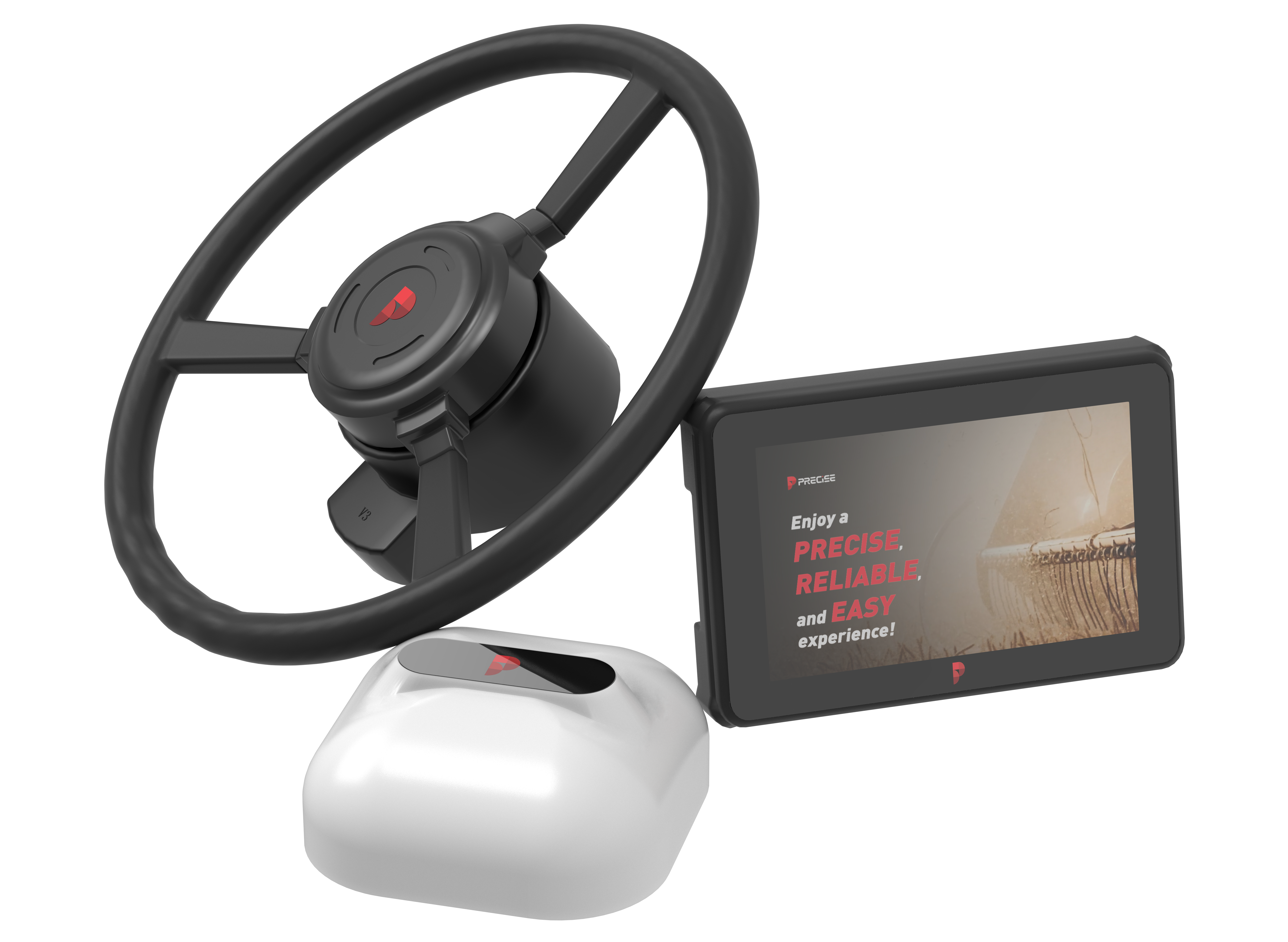
Autopilot Steering System
PRECISE A2
Autopilot Steering System with an Exceptional User Experience.

Enhanced by the MATRIX ALGORITHM
- High Precision
- Easy Installation
- User-Friendly Operation
- Convenient Maintenance
- Simplified Management
- High Reliability
- Advanced Navigation & Positioning
- Wide Adaptability
- Multiple Operating Modes
- Full-Process Application
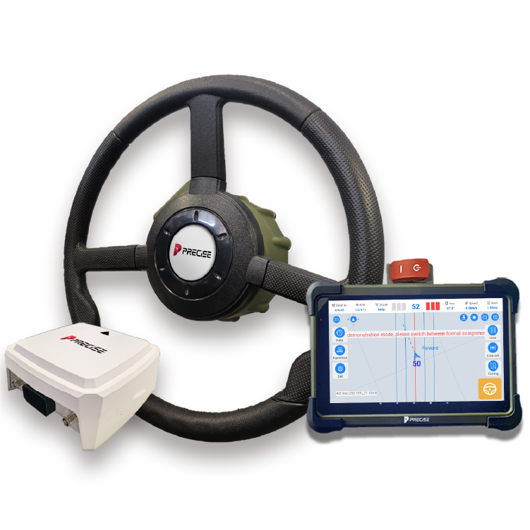
Autopilot Steering System
PRECISE A
Autopilot Steering System with an Exceptional User Experience.

Enhanced by the MATRIX ALGORITHM
- ± 2.5cm working Accuracy
- 0.1-28km/h Velocity Range
- 20mins(min) Quick Installation
- ISOBUS Implement Control
- Satellite-based PPP Free Satellite-based Solution (Low Precision)
- All Scenarios Support Diverse Operation Modes
- High Compatibility Compatible with Mainstream Agricultural Machinery Brands and Models
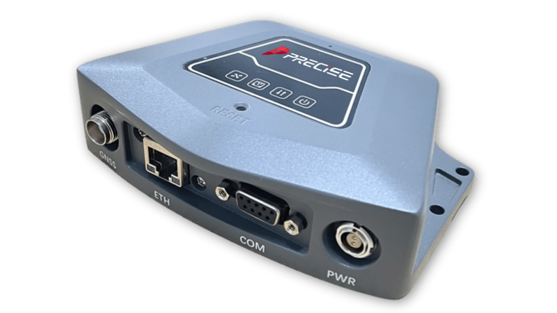
GNSS Reference Receiver
PRECISE C
Redefining CORS with Unmatched Precision and Reliability.
PRECISE C is a lightweight split GNSS receiver designed for the safety monitoring industry, featuring miniaturisation, low power consumption, low cost, high update rate, Gigabit network port, high satellite search quality, etc. Used with a small 3D choke antenna, it can be used as a reference and monitoring station in harsh monitoring scenarios, and is widely used in the fields of bridge monitoring, dams in reservoirs, and other precision structures monitoring.
- Full Constellation Tracking
- High Frequency Monitoring
- Powerful Performance
- Front-end Resolution
- Simple Appearance
- Remote Control

With PRECISE, precision isn’t just a promise—it’s a standard. A brand that never disappoints.
Ana Martins
Discover Excellence
Contact us for Your Precision Solutions
Looking for reliable precision solutions?
Contact us today to learn more about our innovative products and dedicated customer support, tailored to meet your specific needs.
PRECISE social media:
PRECISE Sales Team: sales@precise-geo.com or clik
PRECISE Tech Team: support@precise-geo.com or clik
PRECISE Marcom Team: marcom@precise-geo.com or clik

PRECISE is where expertise meets simplicity. A brand that makes precision accessible to all.
Rahul Sharma
